UN/LOCODE hub · Sweden
SEKUN

Kungshamn

58.3500°, 11.2500°
3,657
Population
1
Transport functions

Transport Functions

Port
UN/LOCODE

Hub Profile

Place type
Provincial seat
GeoNames
Region
Västra Götaland
GeoNames
Population
3,657
GeoNames
Time zone
Europe/Stockholm
GeoNames
Elevation
14 m
GeoNames

Location

Location of SEKUN
Natural Earth 10m (public domain) · Västra Götaland · SEKUN · 58.35, 11.25GoogleOSMYandex

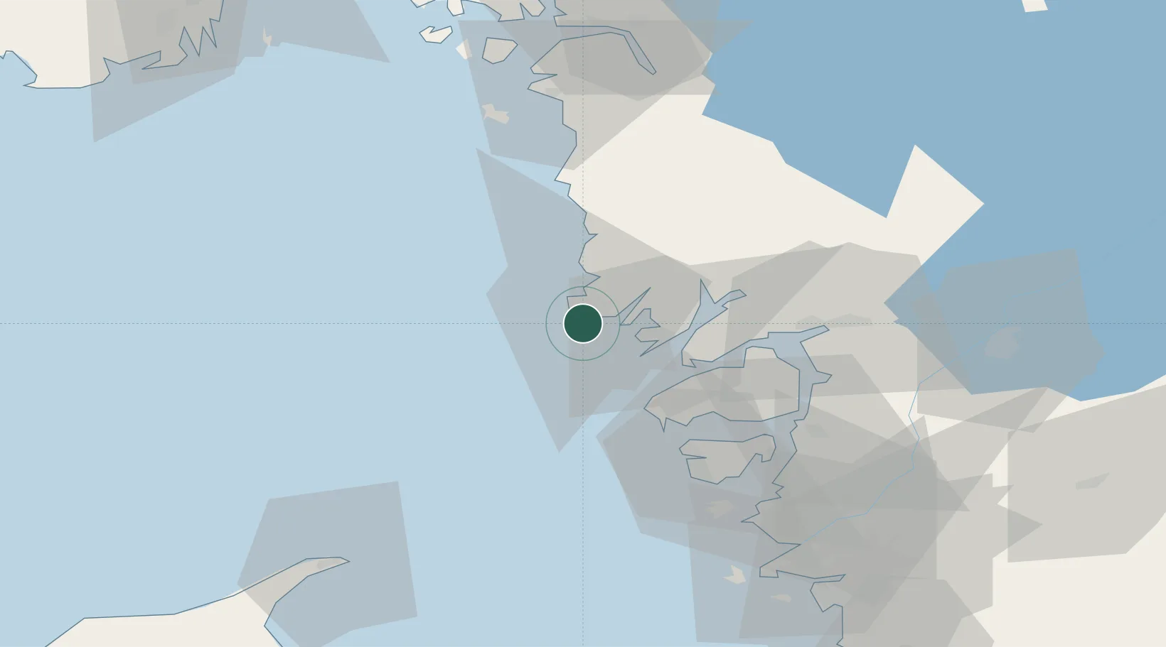
Nearby Logistics Neighbours

Cities
  1. 1Brofjorden8 km
  2. 2Lysekil13 km
  3. 3Brastad14 km
  4. 4Heestrand19 km
  5. 5Sjöviken22 km
Nearest neighbours — logibook spatial index (haversine) over the source coordinates
Ports
  1. 1Hunnebostrand10 km
  2. 2Brofjorden10 km
  3. 3Lysekil14 km
  4. 4Bovallstrand16 km
  5. 5Fjallbacka28 km
Nearest neighbours — logibook spatial index (haversine) over the source coordinates
Airports
  1. 1Trollhättan-Vänersborg Airport64 km
  2. 2Säve Airport74 km
  3. 3Såtenäs Air Base86 km
  4. 4Göteborg Landvetter Airport98 km
  5. 5Råda Air Base106 km
Nearest neighbours — logibook spatial index (haversine) over the source coordinates
Trade Zones
  1. 1Gothenburg Boundless Customs Warehouse79 km
  2. 2Jönköping Free Zone179 km
  3. 3Freeport of Copenhagen- Nordhavn304 km
  4. 4MTS Malmö Transport and Spedition325 km
  5. 5Stockholm Free Zone410 km
Nearest neighbours — logibook spatial index (haversine) over the source coordinates
DatabookThe Record of Consolidated Knowledge
Sweden beyond logistics?
Browse databook

All Sources

LocationsUN/LOCODE
UN/LOCODE — free
LocationsGeoNames
CC BY 4.0
Portsthe NGA World Port Index
Public domain (US gov)
AirportsOurAirports
Public domain
Trade Zonesthe World Bank SEZ database
CC BY 4.0
Trade ZonesOpen Zone Map
CC BY
← Sweden locations