Transport Functions
Port
Rail
Road
Hub Profile
Place type
Provincial seat
Region
Västra Götaland
Population
7,734
Time zone
Europe/Stockholm
Elevation
12 m
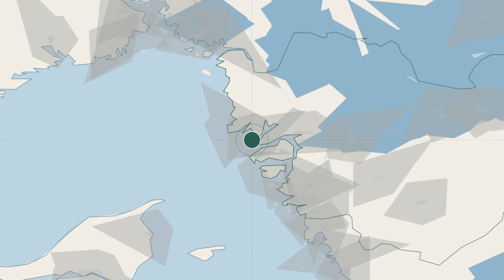
Location
Nearby Logistics Neighbours
Cities
- 1Brofjorden8 km
- 2Ellös11 km
- 3Brastad12 km
- 4Kungshamn13 km
- 5Heestrand27 km
Ports
- 1Brofjorden9 km
- 2Hunnebostrand19 km
- 3Bovallstrand23 km
- 4Uddevalla27 km
- 5Stenungsund31 km
Airports
- 1Trollhättan-Vänersborg Airport53 km
- 2Säve Airport62 km
- 3Såtenäs Air Base76 km
- 4Göteborg Landvetter Airport85 km
- 5Råda Air Base97 km
Trade Zones
DatabookThe Record of Consolidated Knowledge
Sweden beyond logistics?