Transport Functions
Road
Multimodal
Hub Profile
Region
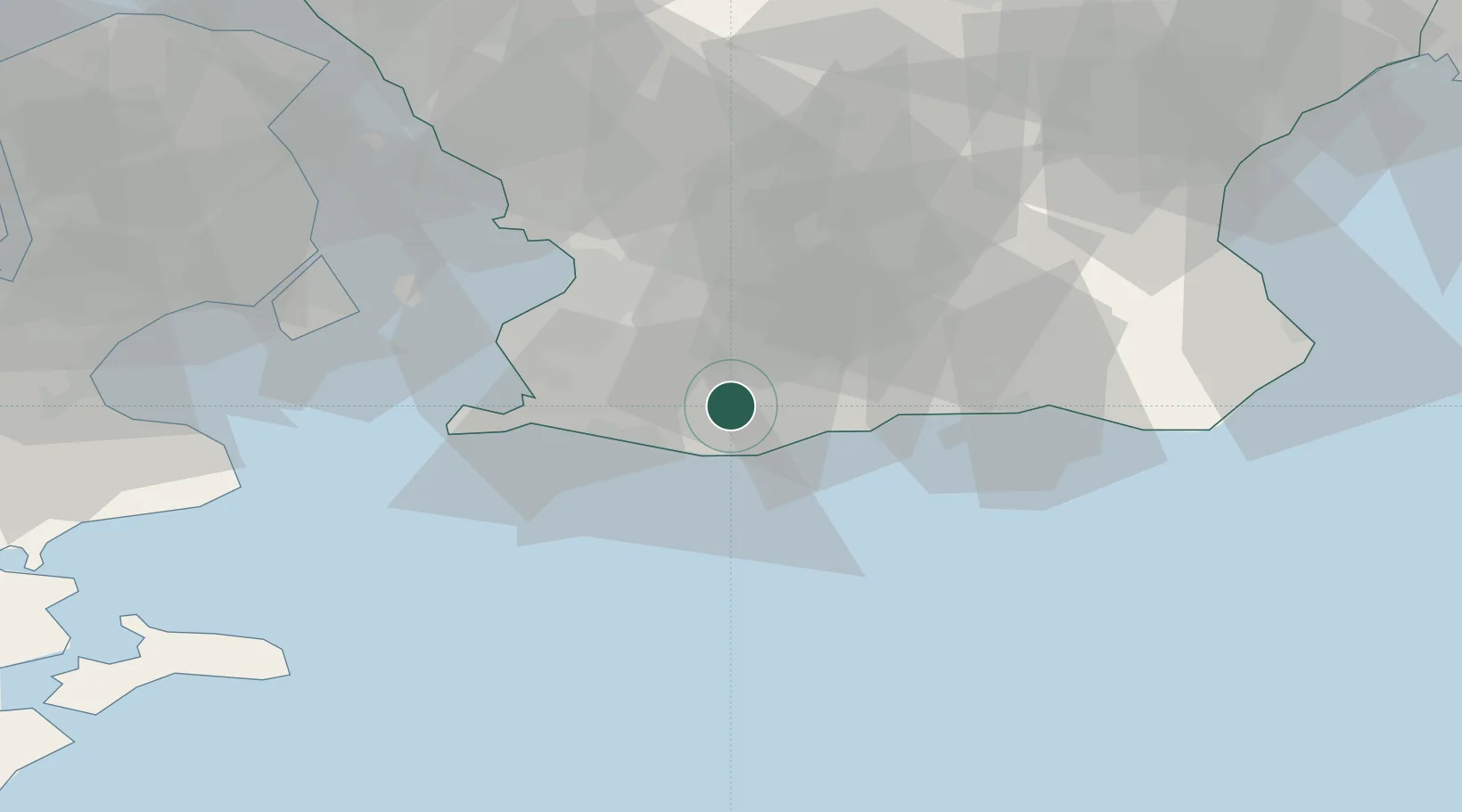
M
Location
Nearby Logistics Neighbours
Cities
- 1Trelleborg13 km
- 2Vellinge19 km
- 3Veberöd24 km
- 4Höllviken24 km
- 5Malmö25 km
Ports
- 1Trelleborg14 km
- 2Malmo31 km
- 3Ystad31 km
- 4Limhamn32 km
- 5Kobenhavn54 km
Airports
- 1Malmö Sturup Airport12 km
- 2Copenhagen Kastrup Airport47 km
- 3København Vandflyveplads54 km
- 4Kristianstad Airport72 km
- 5Ljungbyhed Airfield73 km
Trade Zones
- 1MTS Malmö Transport and Spedition24 km
- 2Freeport of Copenhagen- Nordhavn56 km
- 3Swinoujscie Duty Free Zone181 km
- 4Freeport of Kiel236 km
- 5Szczecin Duty Free Zone238 km
DatabookThe Record of Consolidated Knowledge
Sweden beyond logistics?