UN/LOCODE hub · Sweden
SESVA

Svalöv

55.9167°, 13.1000°
2
Transport functions

Transport Functions

Rail
Road
UN/LOCODE

Hub Profile

Region
M
GeoNames

Location

Location of SESVA
Natural Earth 10m (public domain) · M · SESVA · 55.92, 13.10GoogleOSMYandex

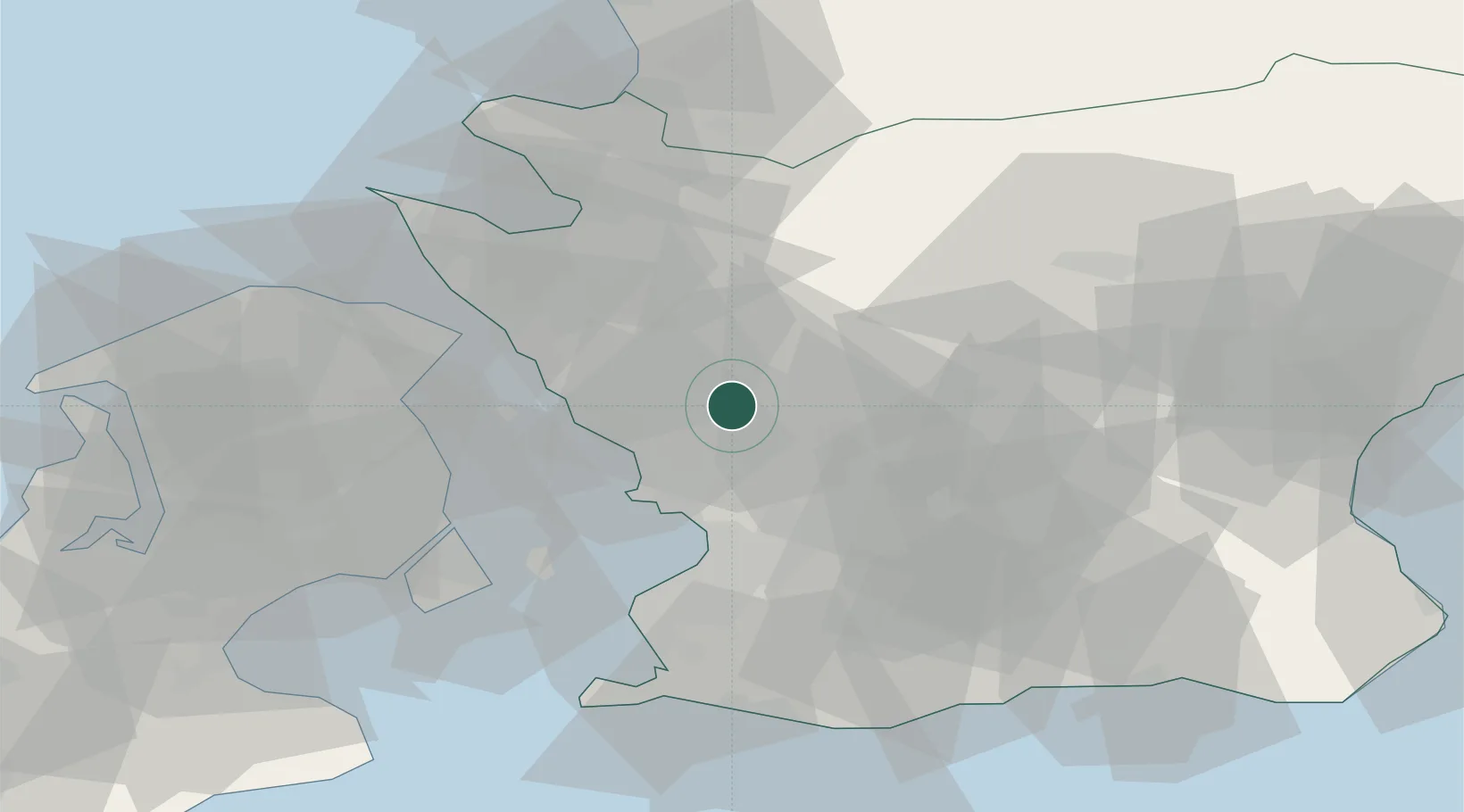
Nearby Logistics Neighbours

Cities
  1. 1Furulund17 km
  2. 2Löddeköpinge18 km
  3. 3Landskrona18 km
  4. 4Barsebäckshamn22 km
  5. 5Bjärred23 km
Nearest neighbours — logibook spatial index (haversine) over the source coordinates
Ports
  1. 1Landskrona18 km
  2. 2Helsingborg29 km
  3. 3Helsingor33 km
  4. 4Malmo33 km
  5. 5Limhamn38 km
Nearest neighbours — logibook spatial index (haversine) over the source coordinates
Airports
  1. 1Ljungbyhed Airfield20 km
  2. 2København Vandflyveplads40 km
  3. 3Copenhagen Kastrup Airport43 km
  4. 4Ängelholm-Helsingborg Airport45 km
  5. 5Malmö Sturup Airport46 km
Nearest neighbours — logibook spatial index (haversine) over the source coordinates
Trade Zones
  1. 1MTS Malmö Transport and Spedition35 km
  2. 2Freeport of Copenhagen- Nordhavn38 km
  3. 3Gothenburg Boundless Customs Warehouse214 km
  4. 4Jönköping Free Zone214 km
  5. 5Swinoujscie Duty Free Zone237 km
Nearest neighbours — logibook spatial index (haversine) over the source coordinates
DatabookThe Record of Consolidated Knowledge
Sweden beyond logistics?
Browse databook

All Sources

LocationsUN/LOCODE
UN/LOCODE — free
Portsthe NGA World Port Index
Public domain (US gov)
AirportsOurAirports
Public domain
Trade Zonesthe World Bank SEZ database
CC BY 4.0
Trade ZonesOpen Zone Map
CC BY
← Sweden locations