Transport Functions
Rail
Road
Hub Profile
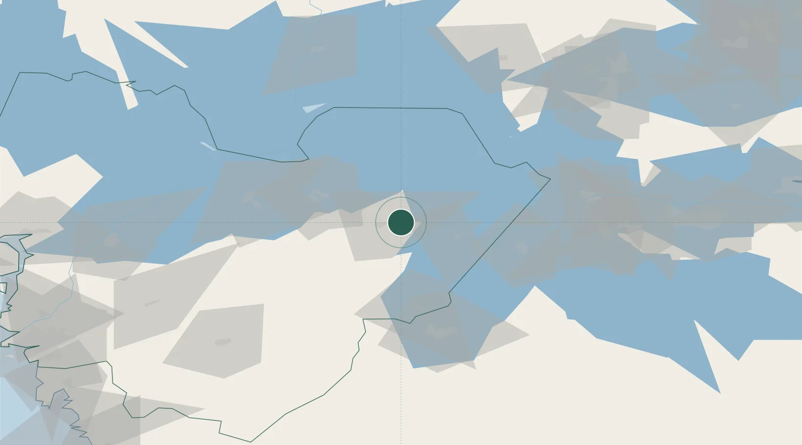
Place type
Populated place
Region
Västra Götaland
Population
648
Time zone
Europe/Stockholm
Elevation
130 m
Location
Nearby Logistics Neighbours
Ports
- 1Uddevalla122 km
- 2Stenungsund132 km
- 3Goteborg141 km
- 4Lysekil148 km
- 5Brofjorden149 km
Airports
- 1Skövde Airport6 km
- 2Råda Air Base54 km
- 3Jönköping Airport72 km
- 4Såtenäs Air Base73 km
- 5Malmen Air Base91 km
Trade Zones
DatabookThe Record of Consolidated Knowledge
Sweden beyond logistics?