Transport Functions
Multimodal
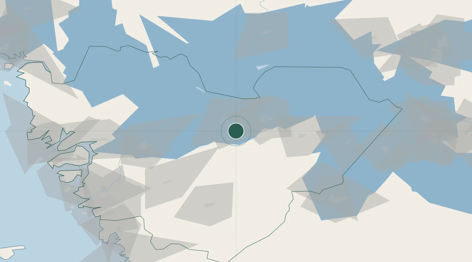
Hub Profile
Place type
Populated place
Region
Västra Götaland
Time zone
Europe/Stockholm
Elevation
74 m
Location
Nearby Logistics Neighbours
Ports
- 1Uddevalla79 km
- 2Stenungsund92 km
- 3Brofjorden105 km
- 4Lysekil105 km
- 5Goteborg110 km
Airports
- 1Råda Air Base12 km
- 2Såtenäs Air Base29 km
- 3Skövde Airport44 km
- 4Trollhättan-Vänersborg Airport52 km
- 5Jönköping Airport90 km
Trade Zones
DatabookThe Record of Consolidated Knowledge
Sweden beyond logistics?