UN/LOCODE hub · Sweden
SELDK

Lidköping

58.5000°, 13.5000°
4
Transport functions

Transport Functions

Port
Rail
Road
Airport
UN/LOCODE

Hub Profile

Region
O
GeoNames

Location

Location of SELDK
Natural Earth 10m (public domain) · O · SELDK · 58.50, 13.50GoogleOSMYandex

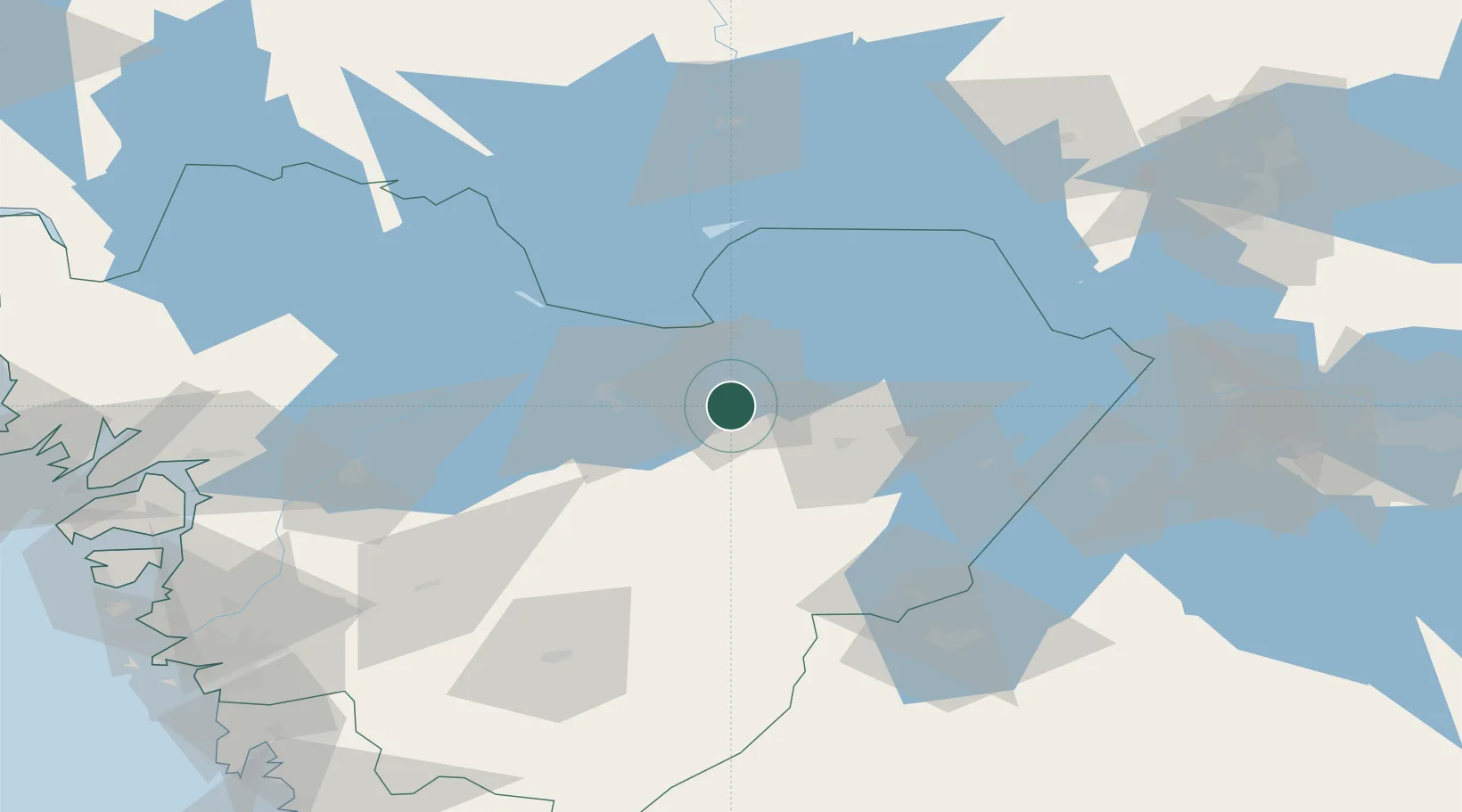
Nearby Logistics Neighbours

Cities
  1. 1Hönsäter16 km
  2. 2Lindärva18 km
  3. 3Mariestad29 km
  4. 4Igelstorp29 km
  5. 5Vartofta47 km
Nearest neighbours — logibook spatial index (haversine) over the source coordinates
Ports
  1. 1Uddevalla96 km
  2. 2Stenungsund110 km
  3. 3Brofjorden122 km
  4. 4Lysekil123 km
  5. 5Bovallstrand126 km
Nearest neighbours — logibook spatial index (haversine) over the source coordinates
Airports
  1. 1Råda Air Base26 km
  2. 2Skövde Airport28 km
  3. 3Såtenäs Air Base46 km
  4. 4Trollhättan-Vänersborg Airport70 km
  5. 5Jönköping Airport89 km
Nearest neighbours — logibook spatial index (haversine) over the source coordinates
Trade Zones
  1. 1Jönköping Free Zone89 km
  2. 2Gothenburg Boundless Customs Warehouse133 km
  3. 3Stockholm Free Zone281 km
  4. 4Freeport of Copenhagen- Nordhavn314 km
  5. 5MTS Malmö Transport and Spedition323 km
Nearest neighbours — logibook spatial index (haversine) over the source coordinates
DatabookThe Record of Consolidated Knowledge
Sweden beyond logistics?
Browse databook

All Sources

LocationsUN/LOCODE
UN/LOCODE — free
Portsthe NGA World Port Index
Public domain (US gov)
AirportsOurAirports
Public domain
Trade Zonesthe World Bank SEZ database
CC BY 4.0
Trade ZonesOpen Zone Map
CC BY
← Sweden locations