Transport Functions
Road
Multimodal
Hub Profile
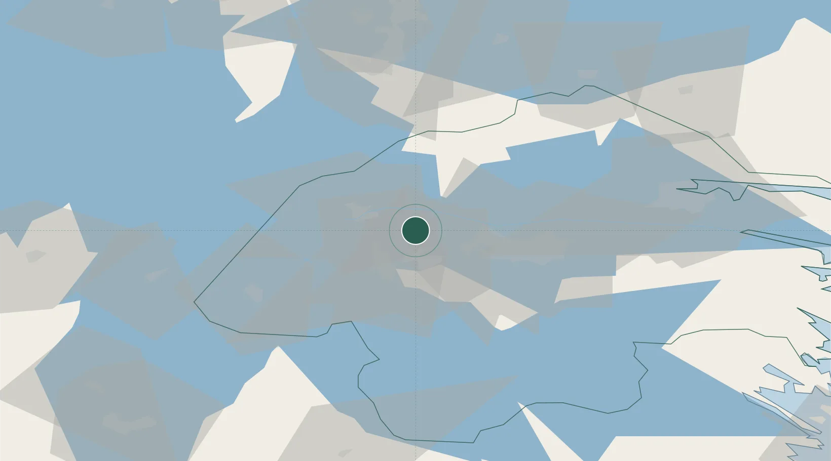
Place type
Populated place
Region
Östergötland
Population
460
Time zone
Europe/Stockholm
Elevation
84 m
Location
Nearby Logistics Neighbours
Cities
- 1Ljusfallshammar37 km
- 2Zinkgruvan38 km
- 3Hammar41 km
- 4Kimstad43 km
- 5Mölltorp49 km
Ports
- 1Norrkoping57 km
- 2Nykoping107 km
- 3Oxelosund111 km
- 4Verkeback113 km
- 5Vastervik115 km
Airports
- 1Malmen Air Base19 km
- 2Linköping City Airport28 km
- 3Norrköping Airport60 km
- 4Skövde Airport73 km
- 5Örebro Airport83 km
Trade Zones
DatabookThe Record of Consolidated Knowledge
Sweden beyond logistics?