Transport Functions
Port
Rail
Road
Hub Profile
Place type
Populated place
Region
Västra Götaland
Time zone
Europe/Stockholm
Elevation
30 m
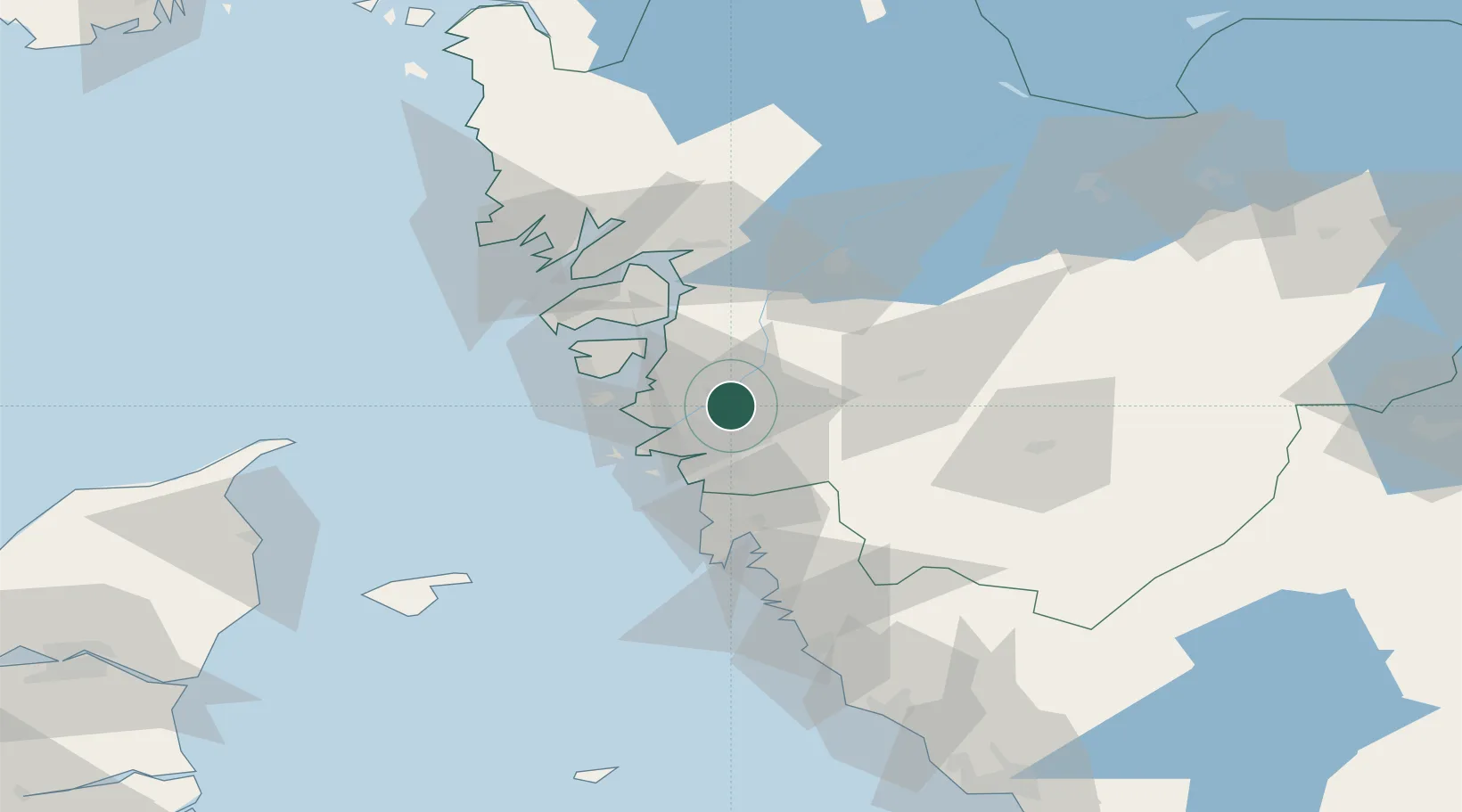
Location
Nearby Logistics Neighbours
Cities
- 1Surte4 km
- 2Agnesberg8 km
- 3Nol (ports)8 km
- 4Angered10 km
- 5Älvängen13 km
Ports
- 1Goteborg16 km
- 2Marstrand25 km
- 3Stenungsund28 km
- 4Uddevalla54 km
- 5Lysekil57 km
Airports
- 1Säve Airport11 km
- 2Göteborg Landvetter Airport27 km
- 3Trollhättan-Vänersborg Airport56 km
- 4Såtenäs Air Base77 km
- 5Læsø Airport87 km
Trade Zones
DatabookThe Record of Consolidated Knowledge
Sweden beyond logistics?