Transport Functions
Rail
Road
Hub Profile
Place type
Provincial seat
Region
Moscow Oblast
Population
24,637
Time zone
Europe/Moscow
Elevation
167 m
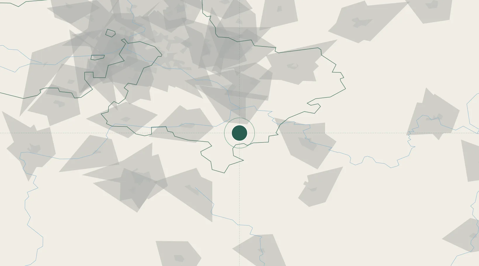
Location
Nearby Logistics Neighbours
Ports
- 1Lomonosov791 km
- 2Kronshtadt796 km
- 3Ust Luga837 km
- 4Taganrog840 km
- 5Rostov-Na-Donu845 km
Airports
- 1Tretyakovo Airport20 km
- 2Dyagilevo Air Base47 km
- 3Domodedovo International Airport95 km
- 4Zhukovsky International Airport100 km
- 5Myachkovo Airfield106 km
DatabookThe Record of Consolidated Knowledge
Russia beyond logistics?