Transport Functions
Rail
Road
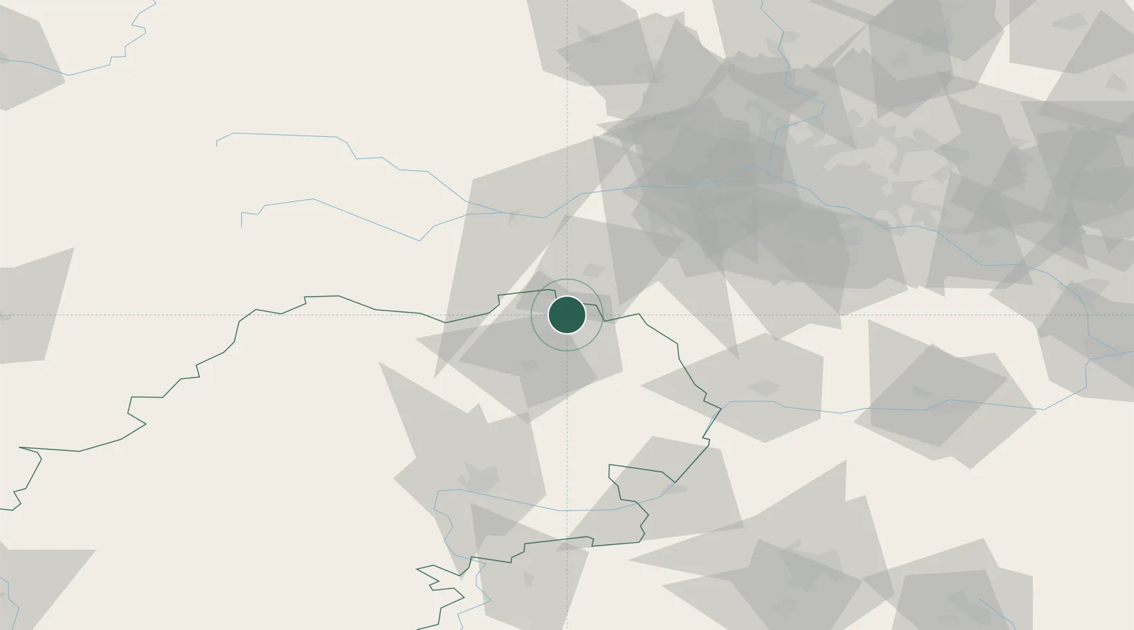
Hub Profile
Place type
Populated place
Region
Kaluga Oblast
Time zone
Europe/Moscow
Elevation
178 m
Location
Nearby Logistics Neighbours
Cities
- 1Obninsk15 km
- 2Selyatino38 km
- 3Kubinka41 km
- 4Moskva56 km
- 5Lyubuchany58 km
Ports
- 1Lomonosov663 km
- 2Kronshtadt668 km
- 3Ust Luga701 km
- 4Primorsk742 km
- 5Gavan Vysotsk765 km
Airports
- 1Yermolino Air Base2 km
- 2Kubinka Air Base44 km
- 3Vnukovo International Airport58 km
- 4Grabtsevo Airport76 km
- 5Domodedovo International Airport83 km
DatabookThe Record of Consolidated Knowledge
Russia beyond logistics?