Transport Functions
Rail
Road
Hub Profile
Place type
Populated place
Region
Moscow Oblast
Population
3,537
Time zone
Europe/Moscow
Elevation
158 m
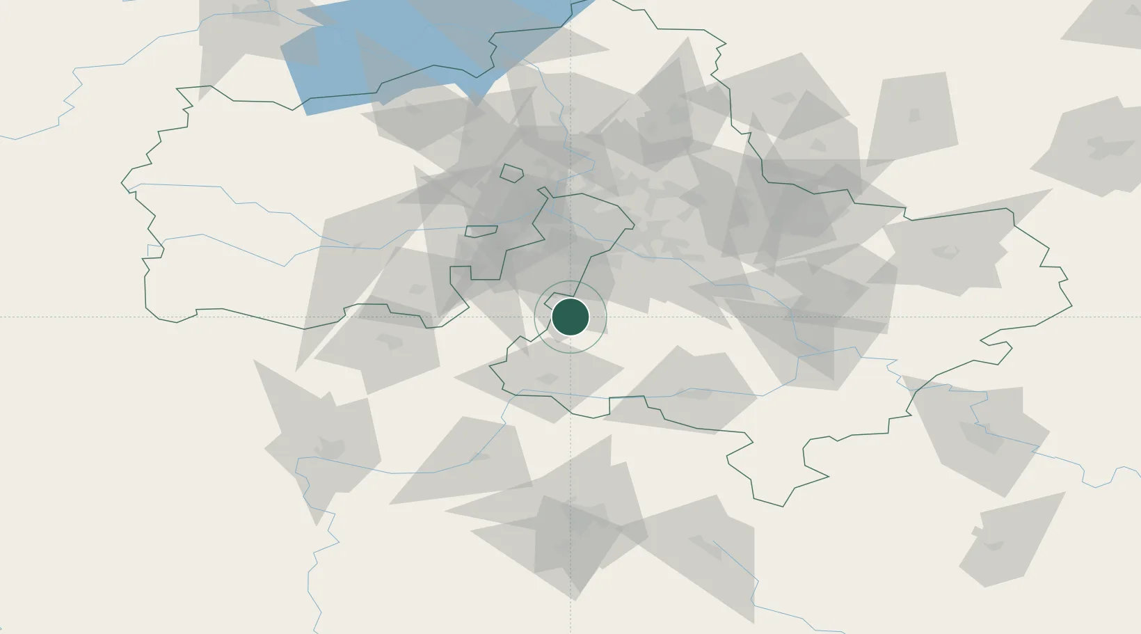
Location
Nearby Logistics Neighbours
Cities
- 1Moskva3 km
- 2Klimovsk11 km
- 3Mikhnëvo30 km
- 4Serpukhov38 km
- 5Mosrentgen41 km
Ports
- 1Lomonosov695 km
- 2Kronshtadt700 km
- 3Ust Luga738 km
- 4Primorsk775 km
- 5Gavan Vysotsk797 km
Airports
DatabookThe Record of Consolidated Knowledge
Russia beyond logistics?