Transport Functions
Port
Rail
Road
Airport
Multimodal
Postal
Hub Profile
Place type
Populated place
Region
Tver Oblast
Population
17
Time zone
Europe/Moscow
Elevation
245 m
Logistics facilities
21
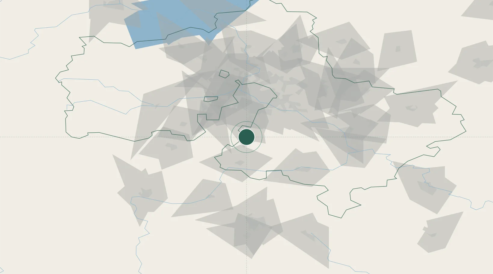
Location
Nearby Logistics Neighbours
Cities
- 1Lyubuchany3 km
- 2Klimovsk13 km
- 3Mikhnëvo32 km
- 4Serpukhov37 km
- 5Mosrentgen42 km
Ports
- 1Lomonosov695 km
- 2Kronshtadt699 km
- 3Ust Luga737 km
- 4Primorsk775 km
- 5Gavan Vysotsk797 km
Airports
DatabookThe Record of Consolidated Knowledge
Russia beyond logistics?