Transport Functions
Rail
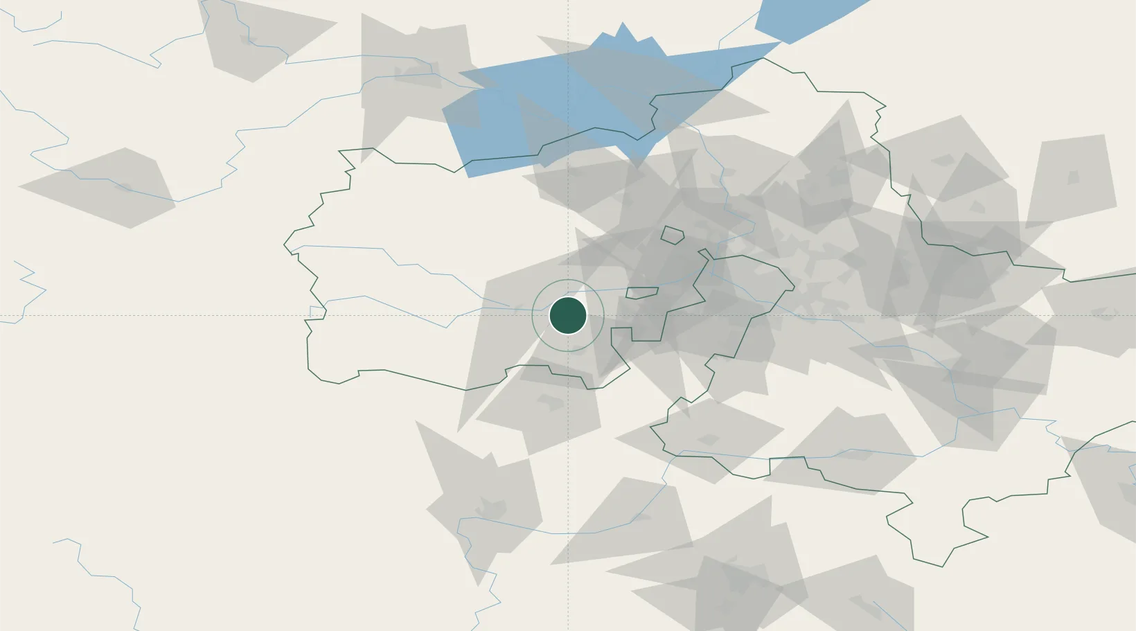
Hub Profile
Place type
Populated place
Region
Moscow Oblast
Population
25,942
Time zone
Europe/Moscow
Elevation
196 m
Location
Nearby Logistics Neighbours
Cities
- 1Selyatino20 km
- 2Ruza32 km
- 3Istra39 km
- 4Vorsino41 km
- 5Krasnogorsk47 km
Ports
- 1Lomonosov632 km
- 2Kronshtadt637 km
- 3Ust Luga673 km
- 4Primorsk712 km
- 5Gavan Vysotsk734 km
Airports
DatabookThe Record of Consolidated Knowledge
Russia beyond logistics?