Transport Functions
Rail
Road
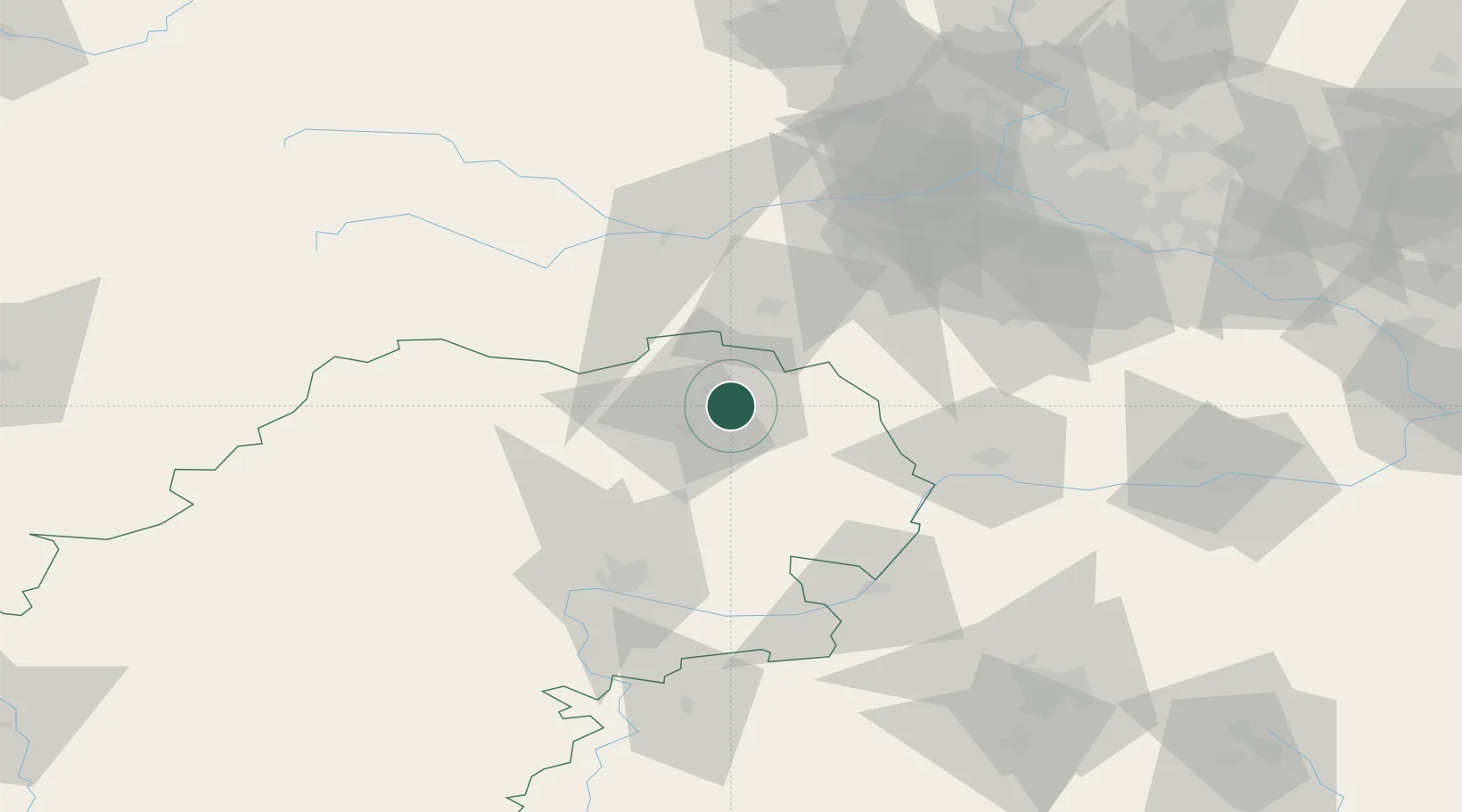
Hub Profile
Place type
Provincial seat
Region
Kaluga Oblast
Population
107,392
Time zone
Europe/Moscow
Elevation
187 m
Location
Nearby Logistics Neighbours
Ports
- 1Lomonosov675 km
- 2Kronshtadt680 km
- 3Ust Luga711 km
- 4Primorsk754 km
- 5Gavan Vysotsk777 km
Airports
- 1Yermolino Air Base16 km
- 2Kubinka Air Base59 km
- 3Grabtsevo Airport61 km
- 4Vnukovo International Airport70 km
- 5Oreshkovo Airfield77 km
DatabookThe Record of Consolidated Knowledge
Russia beyond logistics?