Transport Functions
Rail
Road
Hub Profile
Place type
Populated place
Region
Tatarstan Republic
Time zone
Europe/Moscow
Elevation
158 m
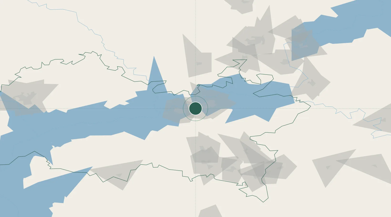
Location
Nearby Logistics Neighbours
Cities
- 1Yelabuga13 km
- 2Nizhnekamsk14 km
- 3Naberezhnyye Chelny19 km
- 4Mamadysh49 km
- 5Baskan84 km
Ports
- 1Arkhangels'k1176 km
- 2Severodvinsk1203 km
- 3Mezen1210 km
- 4Rostov-Na-Donu1275 km
- 5Azov1294 km
Airports
- 1Begishevo Airport11 km
- 2Bugulma Airport119 km
- 3Izhevsk Airport154 km
- 4Kazan International Airport181 km
- 5Borisoglebskoye Airport191 km
DatabookThe Record of Consolidated Knowledge
Russia beyond logistics?