Transport Functions
Port
Road
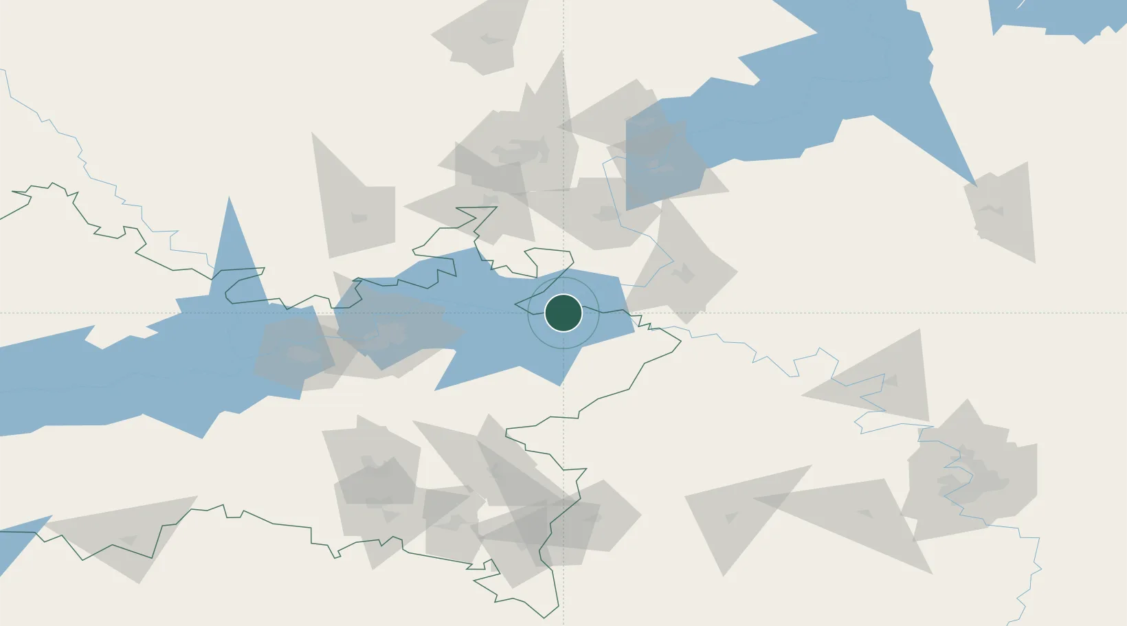
Hub Profile
Place type
Populated place
Region
Tatarstan Republic
Time zone
Europe/Moscow
Elevation
62 m
Location
Nearby Logistics Neighbours
Cities
- 1Naberezhnyye Chelny69 km
- 2Krugloye Pole87 km
- 3Yelabuga91 km
- 4Nizhnekamsk101 km
- 5Chaykovskiy110 km
Ports
- 1Arkhangels'k1196 km
- 2Mezen1215 km
- 3Severodvinsk1225 km
- 4Rostov-Na-Donu1354 km
- 5Azov1373 km
Airports
- 1Begishevo Airport94 km
- 2Izhevsk Airport108 km
- 3Bugulma Airport143 km
- 4Ufa International Airport210 km
- 5Buguruslan Severny Airport250 km
DatabookThe Record of Consolidated Knowledge
Russia beyond logistics?