UN/LOCODE hub · Russia
RUSOV

Sovetskiy

61.3500°, 63.5833°
23,685
Population
2
Transport functions

Transport Functions

Rail
Road
UN/LOCODE

Hub Profile

Place type
Provincial seat
GeoNames
Region
Khanty-Mansia
GeoNames
Population
23,685
GeoNames
Time zone
Asia/Yekaterinburg
GeoNames
Elevation
111 m
GeoNames

Location

Location of RUSOV
Natural Earth 10m (public domain) · Khanty-Mansia · RUSOV · 61.35, 63.58GoogleOSMYandex

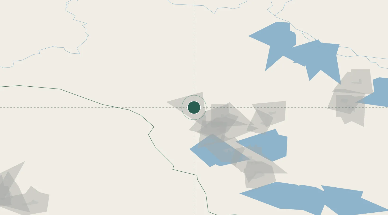
Nearby Logistics Neighbours

Cities
  1. 1Longva160 km
  2. 2Oktyabrskoye178 km
  3. 3Bolshoy Kamen185 km
  4. 4Peregrebnoye197 km
  5. 5Chemashi205 km
Nearest neighbours — logibook spatial index (haversine) over the source coordinates
Ports
  1. 1Mezen1075 km
  2. 2Arkhangels'k1211 km
  3. 3Severodvinsk1247 km
  4. 4Igarka1286 km
  5. 5Ostrovnoy Gremikha1351 km
Nearest neighbours — logibook spatial index (haversine) over the source coordinates
Airports
  1. 1Sovetskiy Airport3 km
  2. 2Yugorsk Sovetsky Air Base25 km
  3. 3Nyagan Airport136 km
  4. 4Uray Airport154 km
  5. 5Lugovoy Airport219 km
Nearest neighbours — logibook spatial index (haversine) over the source coordinates
DatabookThe Record of Consolidated Knowledge
Russia beyond logistics?
Browse databook

All Sources

LocationsUN/LOCODE
UN/LOCODE — free
LocationsGeoNames
CC BY 4.0
Portsthe NGA World Port Index
Public domain (US gov)
AirportsOurAirports
Public domain
Trade Zonesthe World Bank SEZ database
CC BY 4.0
Trade ZonesOpen Zone Map
CC BY
← Russia locations