Transport Functions
Port
Hub Profile
Place type
Provincial seat
Region
Khanty-Mansia
Time zone
Asia/Yekaterinburg
Elevation
7 m
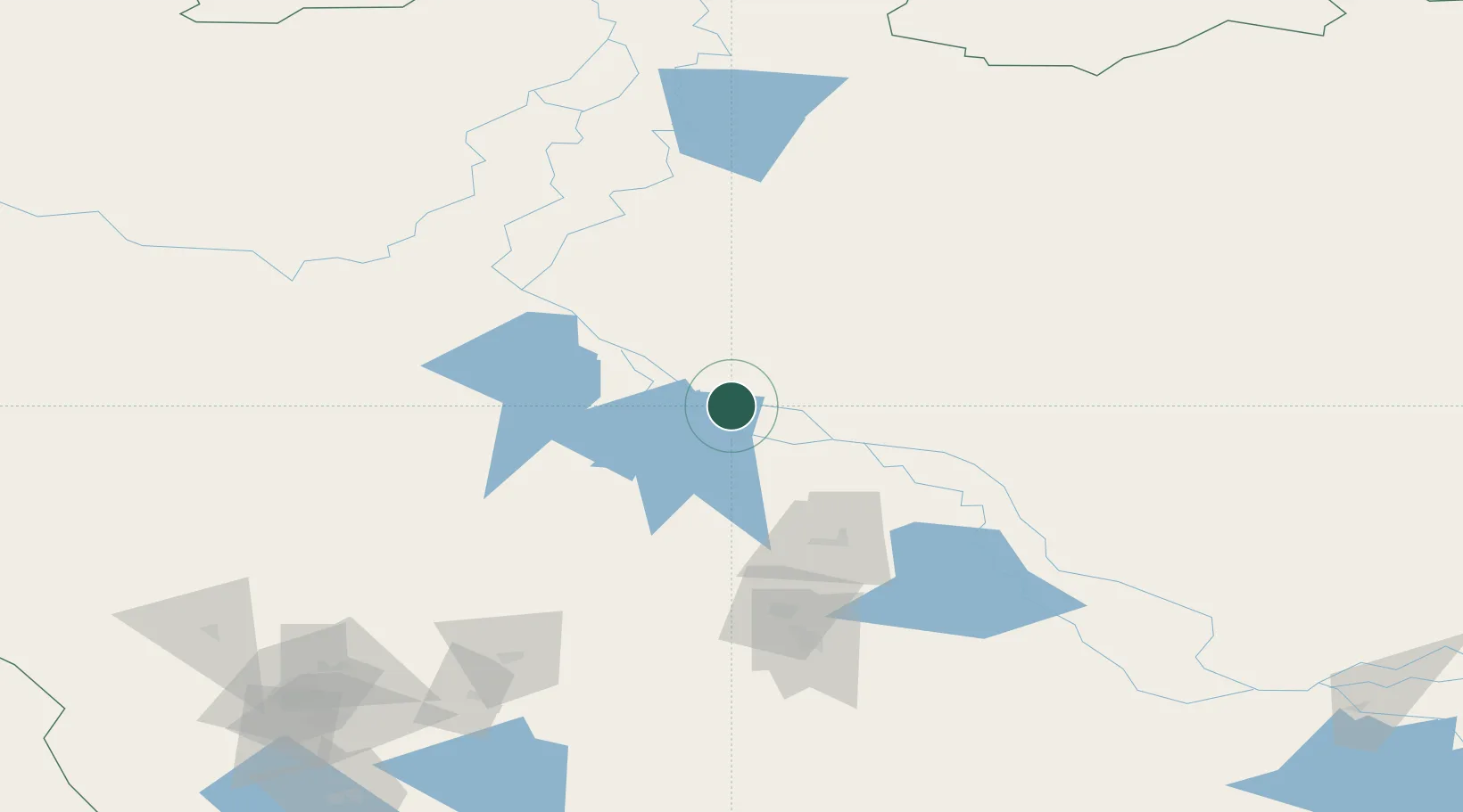
Location
Nearby Logistics Neighbours
Cities
- 1Bolshoy Kamen9 km
- 2Leushinskiye66 km
- 3Peregrebnoye78 km
- 4Chemashi79 km
- 5Polnovat149 km
Ports
- 1Igarka1108 km
- 2Mezen1118 km
- 3Dudinka1186 km
- 4Arkhangels'k1279 km
- 5Severodvinsk1314 km
Airports
- 1Nyagan Airport44 km
- 2Beloyarskiy Airport141 km
- 3Berezovo Airport171 km
- 4Sovetskiy Airport179 km
- 5Yugorsk Sovetsky Air Base201 km
DatabookThe Record of Consolidated Knowledge
Russia beyond logistics?