Transport Functions
Multimodal
Hub Profile
Place type
Populated place
Region
Møre og Romsdal
Time zone
Europe/Oslo
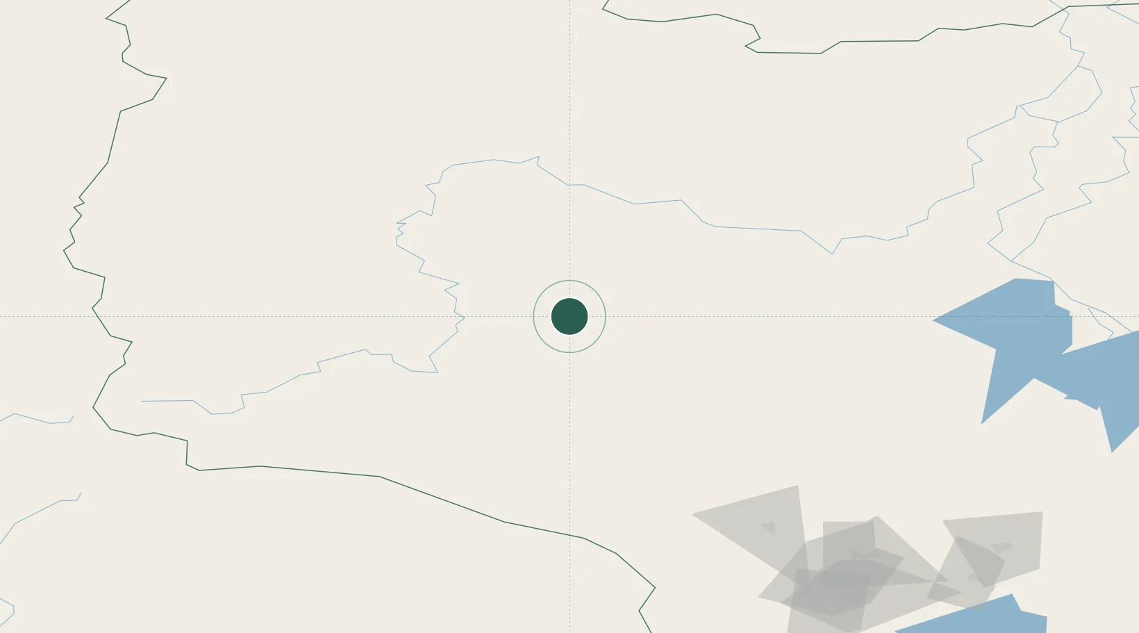
Location
Nearby Logistics Neighbours
Cities
- 1Peregrebnoye143 km
- 2Chemashi150 km
- 3Sovetskiy160 km
- 4Oktyabrskoye192 km
- 5Bolshoy Kamen201 km
Ports
- 1Mezen941 km
- 2Arkhangels'k1092 km
- 3Severodvinsk1128 km
- 4Ostrovnoy Gremikha1205 km
- 5Igarka1245 km
Airports
- 1Yugorsk Sovetsky Air Base161 km
- 2Sovetskiy Airport163 km
- 3Nyagan Airport180 km
- 4Berezovo Airport194 km
- 5Beloyarskiy Airport247 km
DatabookThe Record of Consolidated Knowledge
Norway beyond logistics?