Transport Functions
Port
Hub Profile
Place type
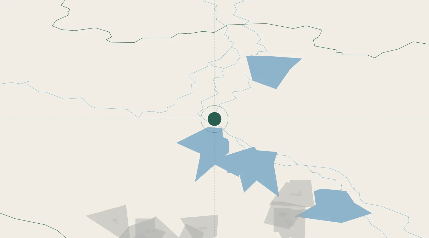
Populated place
Region
Khanty-Mansia
Time zone
Asia/Yekaterinburg
Elevation
30 m
Location
Nearby Logistics Neighbours
Cities
- 1Peregrebnoye8 km
- 2Oktyabrskoye79 km
- 3Bolshoy Kamen84 km
- 4Polnovat91 km
- 5Leushinskiye139 km
Ports
- 1Mezen1049 km
- 2Igarka1104 km
- 3Dudinka1168 km
- 4Arkhangels'k1215 km
- 5Severodvinsk1250 km
Airports
- 1Berezovo Airport99 km
- 2Beloyarskiy Airport105 km
- 3Nyagan Airport105 km
- 4Sovetskiy Airport207 km
- 5Yugorsk Sovetsky Air Base223 km
DatabookThe Record of Consolidated Knowledge
Russia beyond logistics?