Transport Functions
Rail
Road
Hub Profile
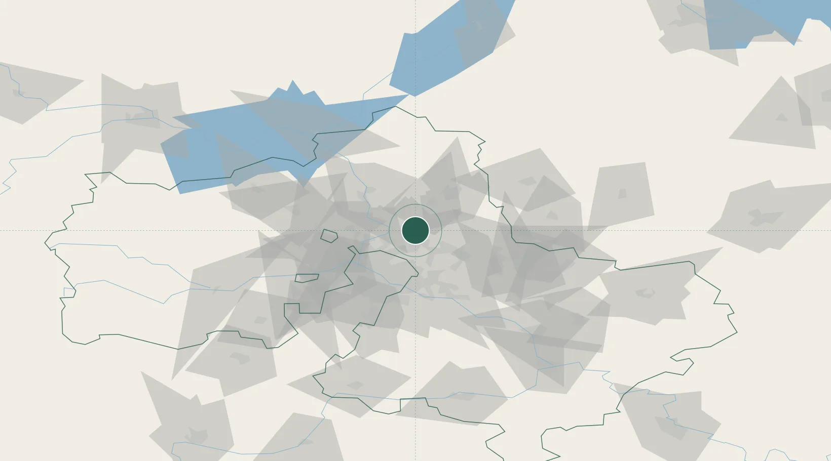
Place type
Populated place
Region
Moscow Oblast
Population
10,372
Time zone
Europe/Moscow
Elevation
167 m
Location
Nearby Logistics Neighbours
Cities
- 1Pushkino6 km
- 2Fryazino15 km
- 3Korolëv (ex Kaliningrad), Moskovskaya17 km
- 4Lobnya26 km
- 5Balashikha28 km
Ports
- 1Lomonosov642 km
- 2Kronshtadt646 km
- 3Ust Luga692 km
- 4Sillamae708 km
- 5Primorsk722 km
Airports
DatabookThe Record of Consolidated Knowledge
Russia beyond logistics?