UN/LOCODE hub · Russia
RULBA

Lobnya

56.0000°, 37.4667°
61,772
Population
2
Transport functions

Transport Functions

Rail
Road
UN/LOCODE

Hub Profile

Place type
Provincial seat
GeoNames
Region
Moscow Oblast
GeoNames
Population
61,772
GeoNames
Time zone
Europe/Moscow
GeoNames
Elevation
197 m
GeoNames

Location

Location of RULBA
Natural Earth 10m (public domain) · Moscow Oblast · RULBA · 56.00, 37.47GoogleOSMYandex

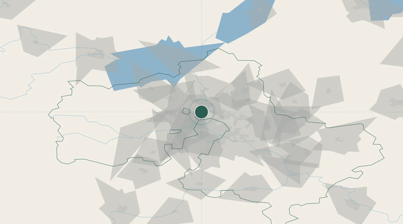
Nearby Logistics Neighbours

Cities
  1. 1Skhodnya12 km
  2. 2Zelenograd14 km
  3. 3Krasnogorsk22 km
  4. 4Pushkino23 km
  5. 5Korolëv (ex Kaliningrad), Moskovskaya25 km
Nearest neighbours — logibook spatial index (haversine) over the source coordinates
Ports
  1. 1Lomonosov629 km
  2. 2Kronshtadt633 km
  3. 3Ust Luga677 km
  4. 4Sillamae691 km
  5. 5Primorsk709 km
Nearest neighbours — logibook spatial index (haversine) over the source coordinates
Airports
  1. 1Sheremetyevo International Airport4 km
  2. 2Chkalovskiy Air Base40 km
  3. 3Vnukovo International Airport47 km
  4. 4Myachkovo Airfield59 km
  5. 5Zhukovsky International Airport66 km
Nearest neighbours — logibook spatial index (haversine) over the source coordinates
DatabookThe Record of Consolidated Knowledge
Russia beyond logistics?
Browse databook

All Sources

LocationsUN/LOCODE
UN/LOCODE — free
LocationsGeoNames
CC BY 4.0
Portsthe NGA World Port Index
Public domain (US gov)
AirportsOurAirports
Public domain
Trade Zonesthe World Bank SEZ database
CC BY 4.0
Trade ZonesOpen Zone Map
CC BY
← Russia locations