UN/LOCODE hub · Russia
RUPER
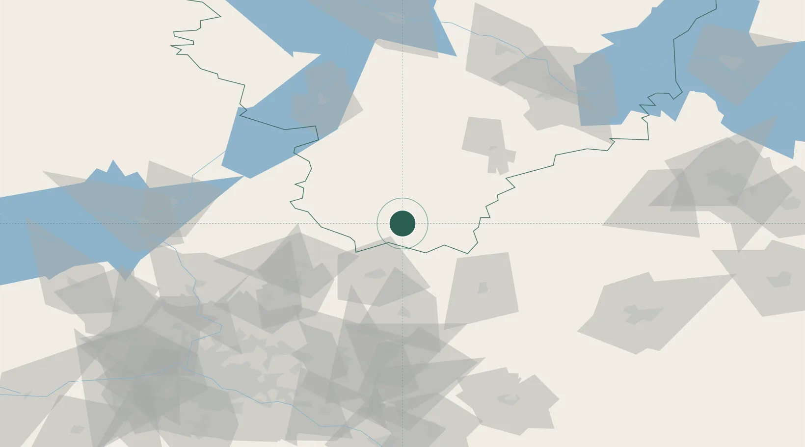
Pereslavl'-Zalesskiy
56.7333°, 38.8500°
40,283
Population
2
Transport functions
Transport Functions
Rail
Road
Hub Profile
Place type
Provincial seat
Region
Yaroslavl Oblast
Population
40,283
Time zone
Europe/Moscow
Elevation
149 m
Location
Nearby Logistics Neighbours
Cities
- 1Aleksandrov38 km
- 2Kol'chugino57 km
- 3Sergiyev Posad65 km
- 4Kalyazin83 km
- 5Gavrilov-Yam87 km
Ports
- 1Lomonosov637 km
- 2Kronshtadt640 km
- 3Ust Luga697 km
- 4Primorsk716 km
- 5Vyborg731 km
Airports
- 1Chkalovskiy Air Base107 km
- 2Semyazino Airport113 km
- 3Golden Ring Yaroslavl International Airport121 km
- 4Sheremetyevo International Airport122 km
- 5Ivanovo South Airport129 km
DatabookThe Record of Consolidated Knowledge
Russia beyond logistics?