Transport Functions
Port
Hub Profile
Place type
Provincial seat
Region
Tver Oblast
Population
14,655
Time zone
Europe/Moscow
Elevation
139 m
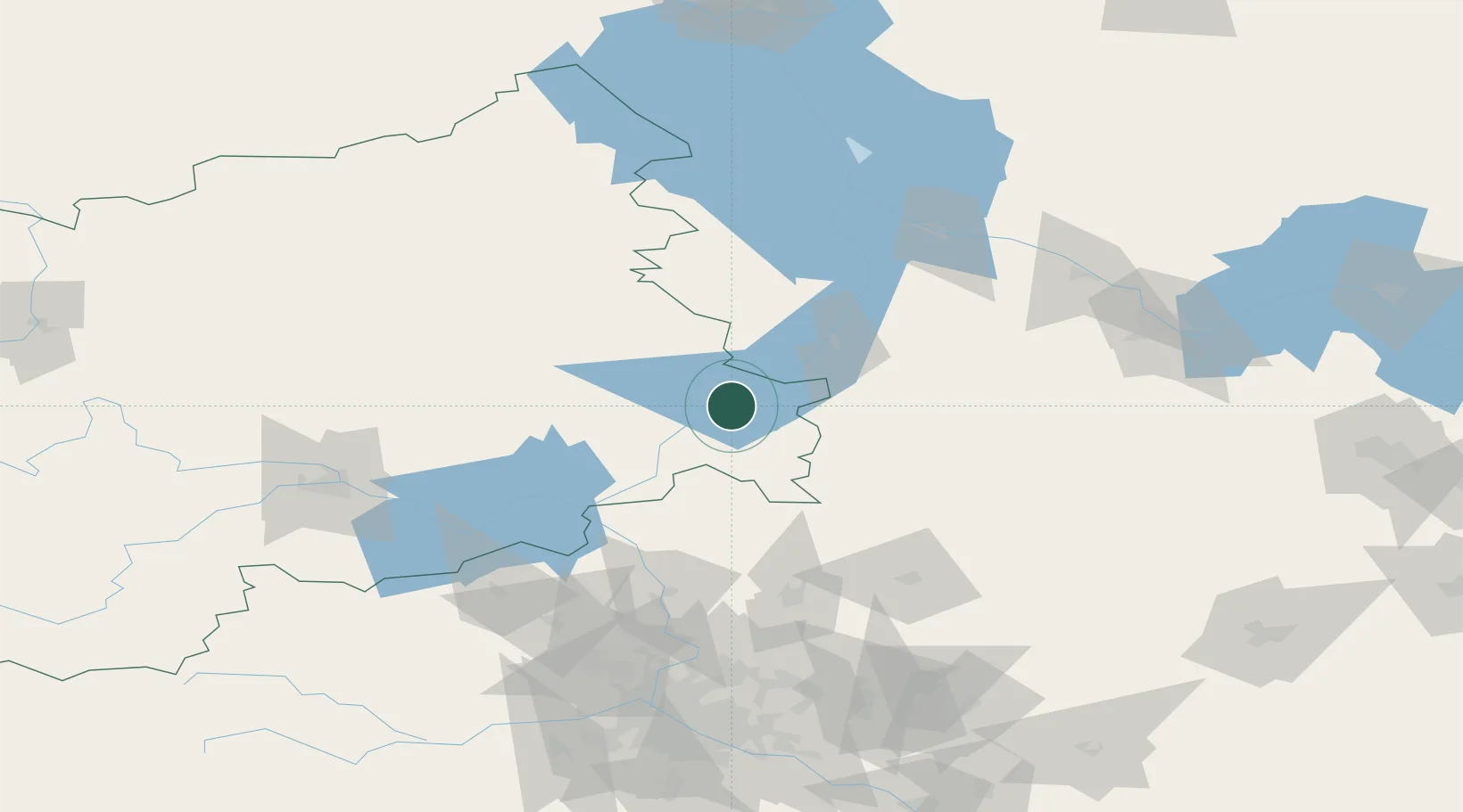
Location
Nearby Logistics Neighbours
Cities
- 1Kashin19 km
- 2Uglich43 km
- 3Kimry48 km
- 4Dubna69 km
- 5Pereslavl'-Zalesskiy83 km
Ports
- 1Lomonosov554 km
- 2Kronshtadt557 km
- 3Ust Luga616 km
- 4Primorsk633 km
- 5Sillamae637 km
Airports
- 1Staroselye Airport117 km
- 2Migalovo Air Base134 km
- 3Sheremetyevo International Airport142 km
- 4Chkalovskiy Air Base151 km
- 5Vnukovo International Airport186 km
DatabookThe Record of Consolidated Knowledge
Russia beyond logistics?