UN/LOCODE hub · Russia
RUALV

Aleksandrov

56.4000°, 38.7333°
64,088
Population
2
Transport functions

Transport Functions

Rail
Road
UN/LOCODE

Hub Profile

Place type
Provincial seat
GeoNames
Region
Vladimir Oblast
GeoNames
Population
64,088
GeoNames
Time zone
Europe/Moscow
GeoNames
Elevation
191 m
GeoNames

Location

Location of RUALV
Natural Earth 10m (public domain) · Vladimir Oblast · RUALV · 56.40, 38.73GoogleOSMYandex

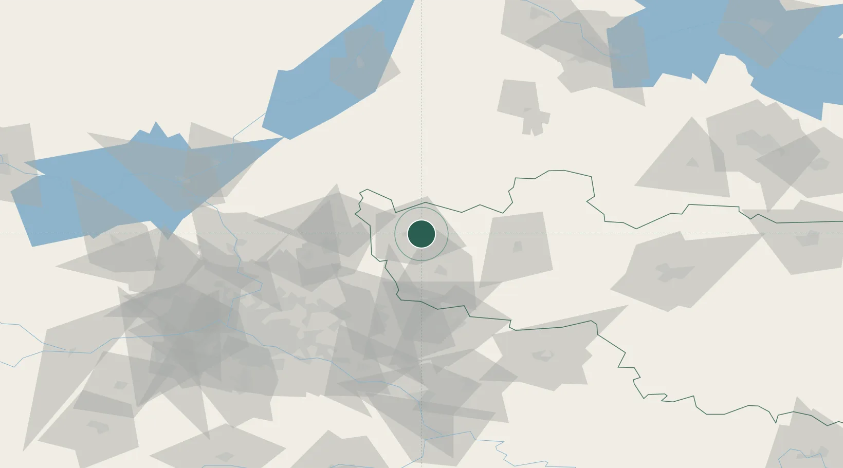
Nearby Logistics Neighbours

Cities
  1. 1Pereslavl'-Zalesskiy38 km
  2. 2Sergiyev Posad39 km
  3. 3Kol'chugino40 km
  4. 4Elektrogorsk58 km
  5. 5Fryazino66 km
Nearest neighbours — logibook spatial index (haversine) over the source coordinates
Ports
  1. 1Lomonosov655 km
  2. 2Kronshtadt658 km
  3. 3Ust Luga712 km
  4. 4Primorsk734 km
  5. 5Vyborg751 km
Nearest neighbours — logibook spatial index (haversine) over the source coordinates
Airports
  1. 1Chkalovskiy Air Base71 km
  2. 2Sheremetyevo International Airport94 km
  3. 3Zhukovsky International Airport101 km
  4. 4Semyazino Airport102 km
  5. 5Myachkovo Airfield104 km
Nearest neighbours — logibook spatial index (haversine) over the source coordinates
DatabookThe Record of Consolidated Knowledge
Russia beyond logistics?
Browse databook

All Sources

LocationsUN/LOCODE
UN/LOCODE — free
LocationsGeoNames
CC BY 4.0
Portsthe NGA World Port Index
Public domain (US gov)
AirportsOurAirports
Public domain
Trade Zonesthe World Bank SEZ database
CC BY 4.0
Trade ZonesOpen Zone Map
CC BY
← Russia locations