UN/LOCODE hub · Russia
RUSGV
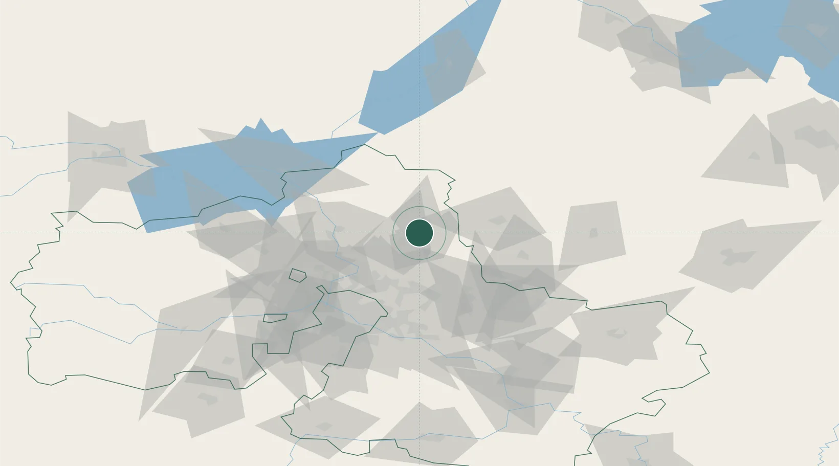
Sergiyev Posad
56.3167°, 38.1167°
109,252
Population
2
Transport functions
Transport Functions
Rail
Road
Hub Profile
Place type
Provincial seat
Region
Moscow Oblast
Population
109,252
Time zone
Europe/Moscow
Elevation
205 m
Location
Nearby Logistics Neighbours
Cities
- 1Pravdinskiy33 km
- 2Dmitrov37 km
- 3Aleksandrov39 km
- 4Pushkino39 km
- 5Fryazino41 km
Ports
- 1Lomonosov632 km
- 2Kronshtadt636 km
- 3Ust Luga686 km
- 4Primorsk712 km
- 5Vyborg730 km
Airports
DatabookThe Record of Consolidated Knowledge
Russia beyond logistics?