Transport Functions
Port
Rail
Road
Hub Profile
Place type
Provincial seat
Region
Yaroslavl Oblast
Population
17,351
Time zone
Europe/Moscow
Elevation
103 m
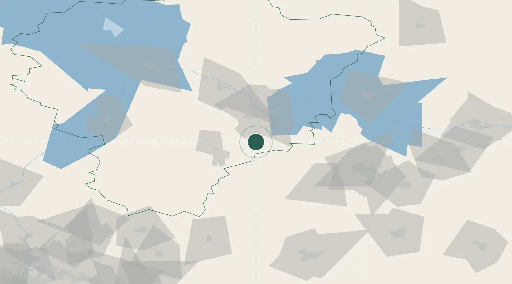
Location
Nearby Logistics Neighbours
Cities
- 1Furmanov75 km
- 2Ivanovo76 km
- 3Privolzhsk86 km
- 4Kokhma87 km
- 5Pereslavl'-Zalesskiy87 km
Ports
- 1Lomonosov652 km
- 2Kronshtadt654 km
- 3Ust Luga719 km
- 4Primorsk729 km
- 5Vyborg739 km
Airports
DatabookThe Record of Consolidated Knowledge
Russia beyond logistics?