Transport Functions
Multimodal
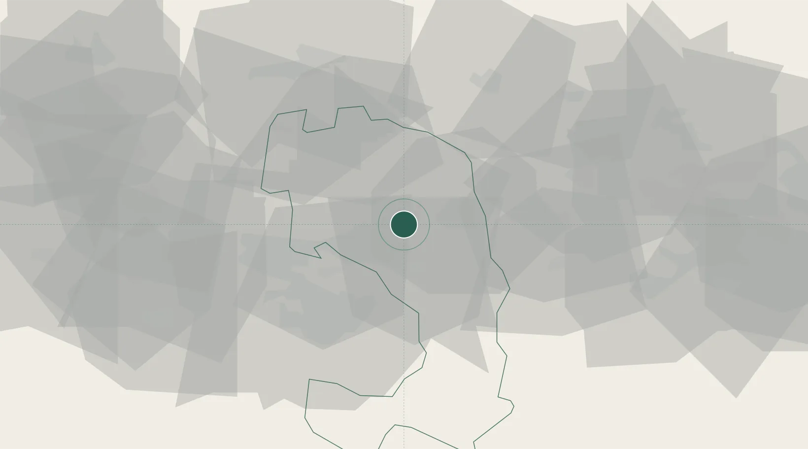
Hub Profile
Place type
Provincial seat
Region
Ingushetiya Republic
Population
34,511
Time zone
Europe/Moscow
Elevation
418 m
Location
Nearby Logistics Neighbours
Cities
- 1Beslan32 km
- 2Gudauri99 km
- 3Nalchik104 km
- 4Akhmeta145 km
- 5Georgievsk148 km
Ports
- 1Supsa Marine Terminal291 km
- 2Sokhumi318 km
- 3Batumi322 km
- 4Hopa355 km
- 5Sochi417 km
Airports
Trade Zones
DatabookThe Record of Consolidated Knowledge
Russia beyond logistics?