Transport Functions
Rail
Road
Hub Profile
Place type
Populated place
Region
Moscow Oblast
Population
10,726
Time zone
Europe/Moscow
Elevation
173 m
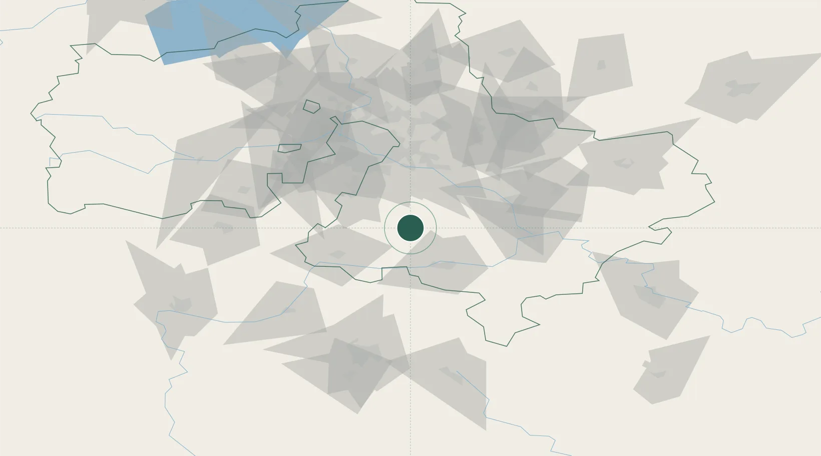
Location
Nearby Logistics Neighbours
Cities
- 1Malino13 km
- 2Stupino28 km
- 3Lyubuchany30 km
- 4Moskva32 km
- 5Kashira34 km
Ports
- 1Lomonosov723 km
- 2Kronshtadt728 km
- 3Ust Luga767 km
- 4Primorsk803 km
- 5Gavan Vysotsk825 km
Airports
DatabookThe Record of Consolidated Knowledge
Russia beyond logistics?