Medium airport · Russia
Kamensk-Uralskiy Air BaseRU-1071
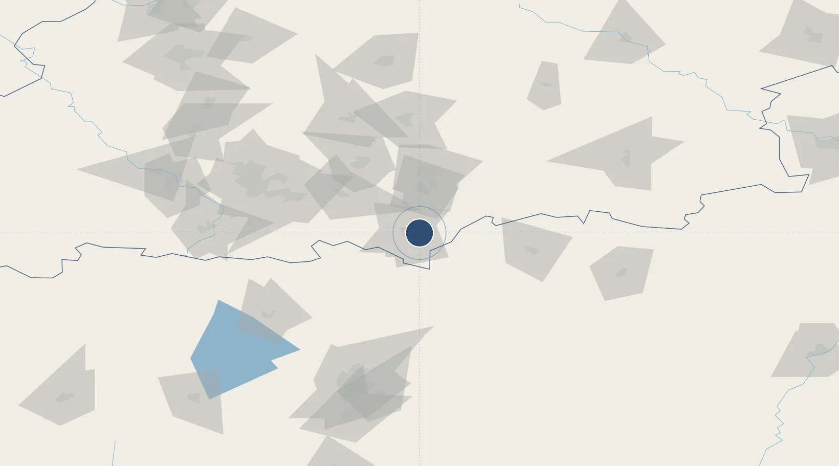
56.4367°, 61.9867°
8,858 ft
Longest runway
1
Runways
560 ft
Elevation
Runway & Layout

Runways · 1
| Runway | Dimensions | Surface | True heading | Lit |
|---|---|---|---|---|
| 11/29 | 8,858 × 157ft | Concrete | — | ✓ |
Airport Specifications
Airport class
Medium airport
Scheduled service
No
Runway surface
Concrete
Served city
Kamensk Uralskiy
Location
Nearby Logistics Neighbours
Airports
- 1Uktus Airport79 km
- 2Koltsovo Airport80 km
- 3Kurchatov Chelyabinsk International Airport130 km
- 4Roshchino International Airport220 km
- 5Uprun Air Base233 km
Cities
- 1Kamensk-Ural'skiy4 km
- 2Asbest72 km
- 3Ekaterinburg (Yekaterinburg)98 km
- 4Irbit153 km
- 5Chelyabinsk155 km
Ports
- 1Mezen1406 km
- 2Arkhangels'k1469 km
- 3Severodvinsk1503 km
- 4Ostrovnoy Gremikha1719 km
- 5Rostov-Na-Donu1833 km
DatabookThe Record of Consolidated Knowledge
Russia beyond logistics?