Transport Functions
Rail
Airport
Hub Profile
Place type
Regional capital
Region
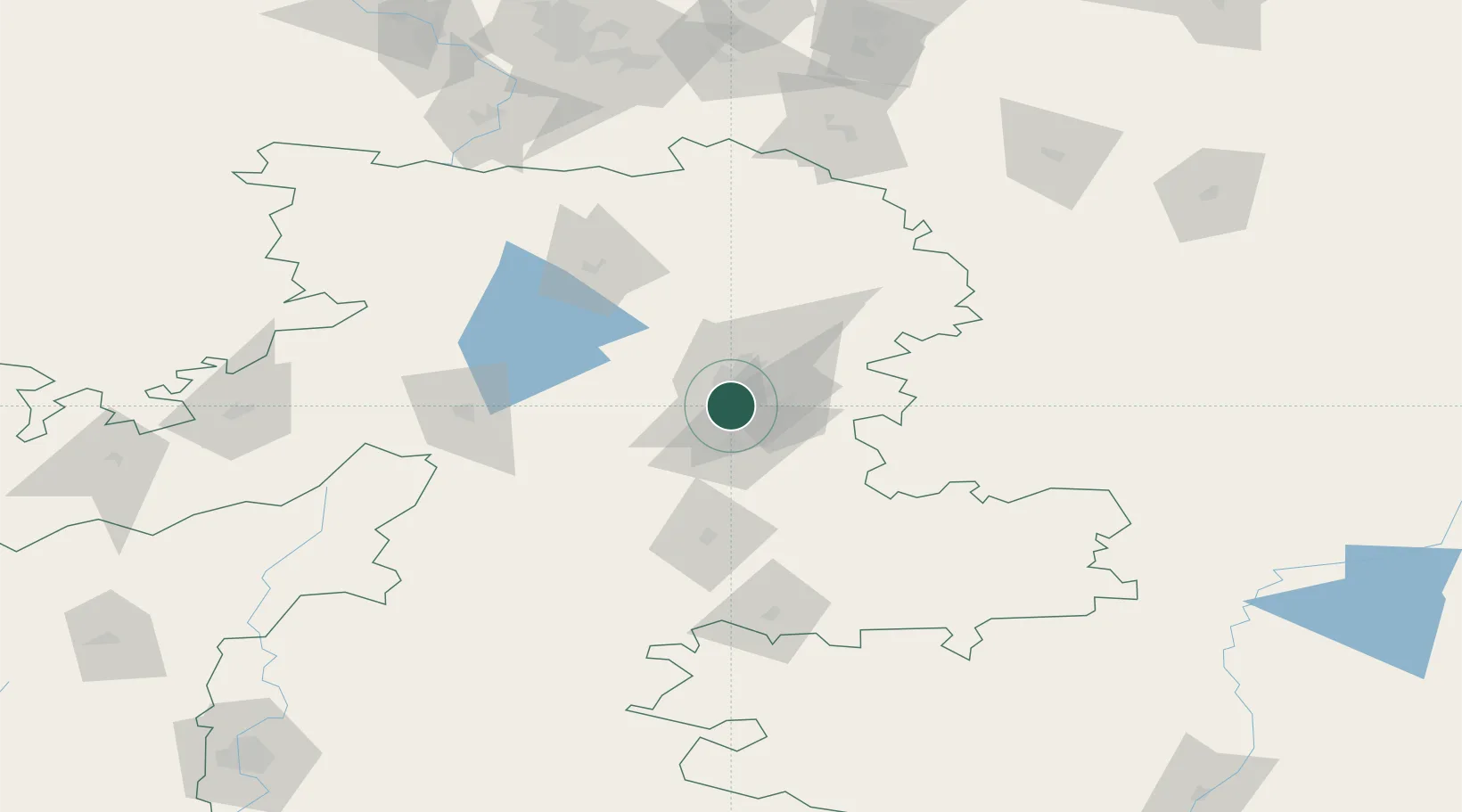
Chelyabinsk
Population
1,202,371
Time zone
Asia/Yekaterinburg
Elevation
232 m
Logistics facilities
3
Location
Nearby Logistics Neighbours
Cities
- 1Chebarkul'66 km
- 2Miass83 km
- 3Shumikha122 km
- 4Satka150 km
- 5Kamensk-Ural'skiy152 km
Ports
- 1Mezen1511 km
- 2Arkhangels'k1556 km
- 3Severodvinsk1589 km
- 4Rostov-Na-Donu1739 km
- 5Azov1761 km
Airports
- 1Kurchatov Chelyabinsk International Airport25 km
- 2Uprun Air Base80 km
- 3Kamensk-Uralskiy Air Base155 km
- 4Uktus Airport183 km
- 5Koltsovo Airport187 km
DatabookThe Record of Consolidated Knowledge
Russia beyond logistics?