Transport Functions
Rail
Road
Multimodal
Hub Profile
Place type
Provincial seat
Region
Kurgan Oblast
Population
18,499
Time zone
Asia/Yekaterinburg
Elevation
184 m
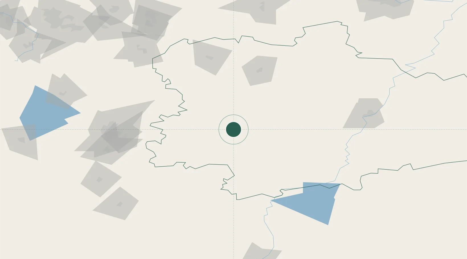
Location
Nearby Logistics Neighbours
Cities
- 1Mishkino40 km
- 2Chelyabinsk122 km
- 3Kurgan131 km
- 4Kamensk-Ural'skiy158 km
- 5Chebarkul'188 km
Ports
- 1Mezen1564 km
- 2Arkhangels'k1623 km
- 3Severodvinsk1657 km
- 4Igarka1821 km
- 5Rostov-Na-Donu1858 km
Airports
- 1Kurchatov Chelyabinsk International Airport113 km
- 2Kurgan Airport138 km
- 3Uprun Air Base155 km
- 4Kamensk-Uralskiy Air Base158 km
- 5Kostanay International Airport224 km
DatabookThe Record of Consolidated Knowledge
Russia beyond logistics?