Transport Functions
Rail
Road
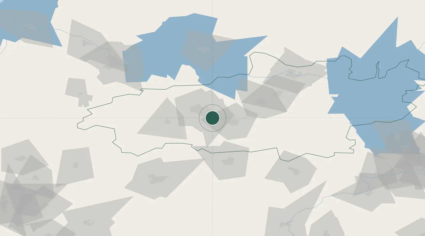
Hub Profile
Place type
Provincial seat
Region
Ivanovo Oblast
Population
28,984
Time zone
Europe/Moscow
Elevation
116 m
Location
Nearby Logistics Neighbours
Cities
- 1Ivanovo13 km
- 2Furmanov37 km
- 3Gorkino38 km
- 4Khropunovo48 km
- 5Privolzhsk51 km
Ports
- 1Arkhangels'k847 km
- 2Severodvinsk855 km
- 3Mezen1005 km
- 4Rostov-Na-Donu1088 km
- 5Taganrog1090 km
Airports
DatabookThe Record of Consolidated Knowledge
Russia beyond logistics?