Transport Functions
Port
Rail
Road
Hub Profile
Place type
Regional capital
Region
Ivanovo Oblast
Population
406,113
Time zone
Europe/Moscow
Elevation
132 m
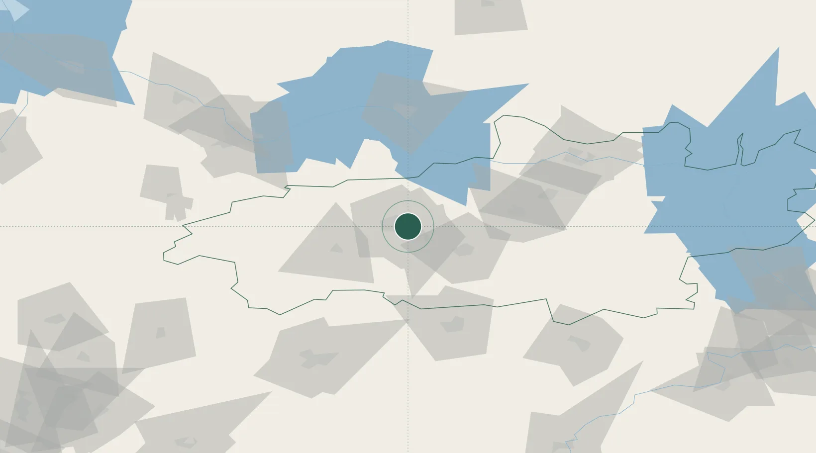
Location
Nearby Logistics Neighbours
Cities
- 1Kokhma13 km
- 2Furmanov27 km
- 3Gorkino38 km
- 4Khropunovo41 km
- 5Privolzhsk43 km
Ports
- 1Arkhangels'k836 km
- 2Severodvinsk843 km
- 3Mezen995 km
- 4Rostov-Na-Donu1099 km
- 5Taganrog1100 km
Airports
DatabookThe Record of Consolidated Knowledge
Russia beyond logistics?