Medium airport · Russia
Kostroma Sokerkino AirportUUBA
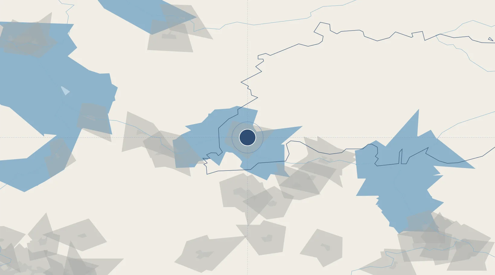
57.7969°, 41.0194°
5,577 ft
Longest runway
1
Runways
446 ft
Elevation
Runway & Layout

Runways · 1
| Runway | Dimensions | Surface | True heading | Lit |
|---|---|---|---|---|
| 13/31 | 5,577 × 157ft | Concrete | — | ✓ |
Airport Specifications
IATA code
KMW
ICAO code
UUBA
Airport class
Medium airport
Scheduled service
Yes
Runway surface
Concrete
Served city
Kostroma
Location
Nearby Logistics Neighbours
Airports
- 1Golden Ring Yaroslavl International Airport58 km
- 2Ivanovo North Air Base82 km
- 3Ivanovo South Airport96 km
- 4Staroselye Airport128 km
- 5Vologda Airport177 km
Cities
- 1Privolzhsk50 km
- 2Khropunovo58 km
- 3Furmanov61 km
- 4Lyubim65 km
- 5Gorkino81 km
Ports
- 1Arkhangels'k749 km
- 2Severodvinsk757 km
- 3Mezen909 km
- 4Vitino1123 km
- 5Kandalaksha1126 km
DatabookThe Record of Consolidated Knowledge
Russia beyond logistics?