UN/LOCODE hub · Russia
RUPSK

Privolzhsk

57.3667°, 41.2833°
17,864
Population
2
Transport functions

Transport Functions

Rail
Road
UN/LOCODE

Hub Profile

Place type
Provincial seat
GeoNames
Region
Ivanovo Oblast
GeoNames
Population
17,864
GeoNames
Time zone
Europe/Moscow
GeoNames
Elevation
117 m
GeoNames

Location

Location of RUPSK
Natural Earth 10m (public domain) · Ivanovo Oblast · RUPSK · 57.37, 41.28GoogleOSMYandex

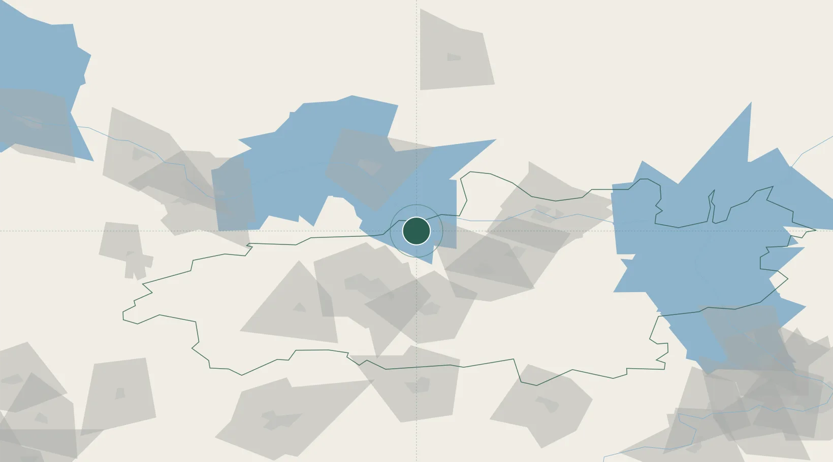
Nearby Logistics Neighbours

Cities
  1. 1Khropunovo9 km
  2. 2Furmanov17 km
  3. 3Gorkino32 km
  4. 4Vichuga42 km
  5. 5Ivanovo43 km
Nearest neighbours — logibook spatial index (haversine) over the source coordinates
Ports
  1. 1Arkhangels'k798 km
  2. 2Severodvinsk806 km
  3. 3Mezen954 km
  4. 4Rostov-Na-Donu1139 km
  5. 5Taganrog1141 km
Nearest neighbours — logibook spatial index (haversine) over the source coordinates
Airports
  1. 1Ivanovo North Air Base39 km
  2. 2Kostroma Sokerkino Airport50 km
  3. 3Ivanovo South Airport52 km
  4. 4Golden Ring Yaroslavl International Airport71 km
  5. 5Semyazino Airport150 km
Nearest neighbours — logibook spatial index (haversine) over the source coordinates
DatabookThe Record of Consolidated Knowledge
Russia beyond logistics?
Browse databook

All Sources

LocationsUN/LOCODE
UN/LOCODE — free
LocationsGeoNames
CC BY 4.0
Portsthe NGA World Port Index
Public domain (US gov)
AirportsOurAirports
Public domain
Trade Zonesthe World Bank SEZ database
CC BY 4.0
Trade ZonesOpen Zone Map
CC BY
← Russia locations