Transport Functions
Port
Hub Profile
Place type
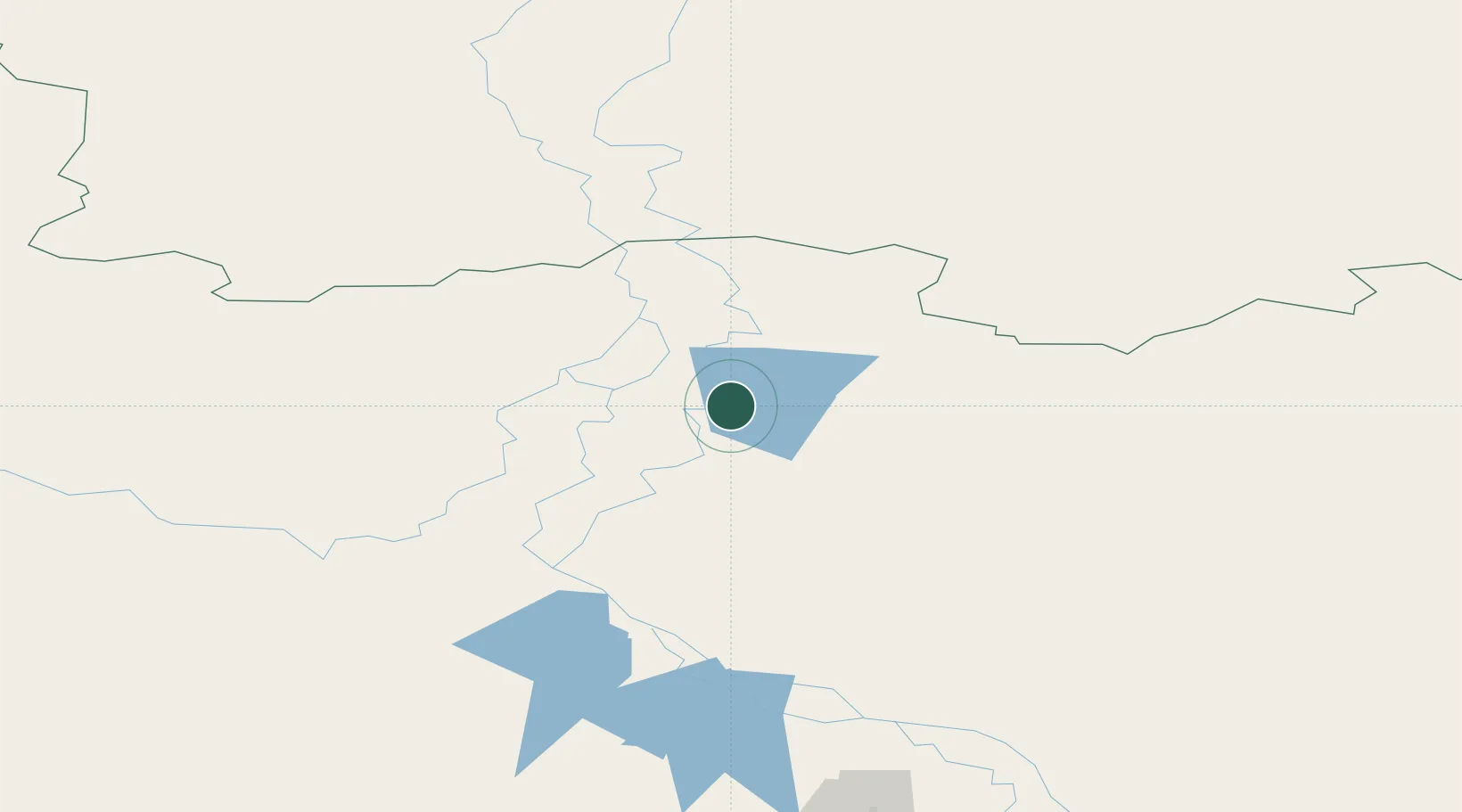
Populated place
Region
Khanty-Mansia
Time zone
Asia/Yekaterinburg
Elevation
6 m
Location
Nearby Logistics Neighbours
Cities
- 1Chemashi91 km
- 2Peregrebnoye98 km
- 3Oktyabrskoye149 km
- 4Bolshoy Kamen149 km
- 5Leushinskiye189 km
Ports
- 1Igarka1028 km
- 2Mezen1047 km
- 3Dudinka1083 km
- 4Port Dikson1225 km
- 5Arkhangels'k1225 km
Airports
- 1Beloyarskiy Airport41 km
- 2Berezovo Airport45 km
- 3Nyagan Airport187 km
- 4Sovetskiy Airport297 km
- 5Yugorsk Sovetsky Air Base313 km
Trade Zones
DatabookThe Record of Consolidated Knowledge
Russia beyond logistics?