Transport Functions
Port
Hub Profile
Place type
Regional capital
Region
Yamalo-Nenets
Population
49,214
Time zone
Asia/Yekaterinburg
Elevation
10 m
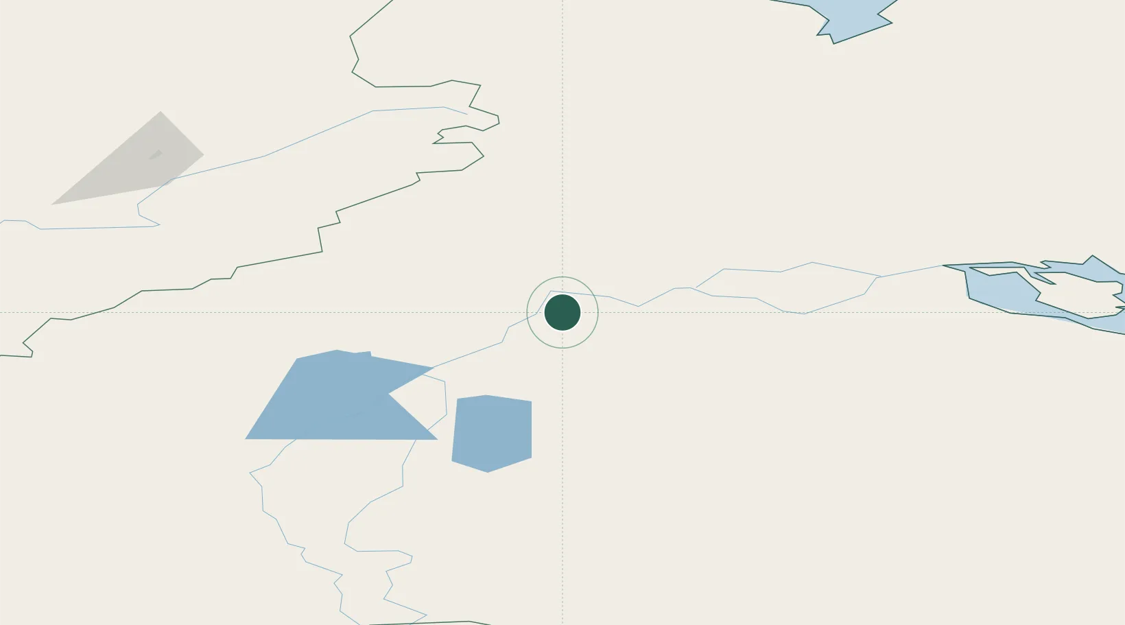
Location
Nearby Logistics Neighbours
Cities
- 1Polnovat306 km
- 2Chemashi393 km
- 3Peregrebnoye400 km
- 4Amderma415 km
- 5Bolshoy Kamen453 km
Ports
- 1Igarka871 km
- 2Dudinka873 km
- 3Port Dikson935 km
- 4Mezen1004 km
- 5Ostrovnoy Gremikha1165 km
Airports
- 1Salekhard Airport8 km
- 2Vorkuta Sovetskiy Air Base145 km
- 3Vorkuta Airport157 km
- 4Inta Airport295 km
- 5Berezovo Airport298 km
DatabookThe Record of Consolidated Knowledge
Russia beyond logistics?