About
Methodology
Sources
Licensing
English
EN
English
TR
Türkçe
DE
Deutsch
FR
Français
ES
Español
IT
Italiano
PT
Português
NL
Nederlands
PL
Polski
RU
Русский
UK
Українська
CS
Čeština
RO
Română
EL
Ελληνικά
BG
Български
AR
العربية
FA
فارسی
UR
اردو
HI
हिन्दी
BN
বাংলা
ID
Bahasa Indonesia
VI
Tiếng Việt
ZH
中文
JA
日本語
KO
한국어
logibook
/
Countries
/
Serbia
/
Locations
/
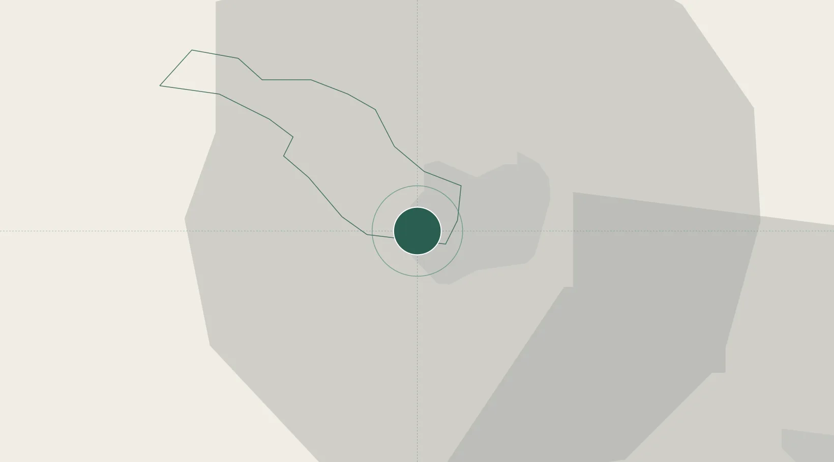
Zvecan
UN/LOCODE hub ·
Serbia
RS
ZVE
Zvecan
42.9000°, 20.8333°
2
Transport functions
Transport Functions
Rail
Road
UN/LOCODE
Hub Profile
Region
28
GeoNames
Location
Natural Earth 10m (public domain) · 28 · RSZVE · 42.90, 20.83
Google ↗
OSM ↗
Yandex ↗
Nearby Logistics Neighbours
Cities
1
Pristina
38 km
2
Kursumlija
44 km
3
Raska
47 km
4
Lipljan
49 km
5
Orahovac
59 km
Nearest neighbours — logibook spatial index (haversine) over the source coordinates
Ports
1
Shengjin
157 km
2
Bar
170 km
3
Kotor
177 km
4
Risan
179 km
5
Tivat
182 km
Nearest neighbours — logibook spatial index (haversine) over the source coordinates
Airports
1
Priština Adem Jashari International Airport
40 km
2
Niš Constantine the Great Airport
96 km
3
Kukës International Airport
102 km
4
Morava Airport
104 km
5
Skopje International Airport
123 km
Nearest neighbours — logibook spatial index (haversine) over the source coordinates
Trade Zones
1
Free Economic Zone in Mitrovica
2 km
2
Industrial Park in Mitrovica
3 km
3
Business Park in Mirovicë
4 km
4
Technological Business Park in Skënderaj
18 km
5
Business Park in Vushtrri
21 km
Nearest neighbours — logibook spatial index (haversine) over the source coordinates
Data
book
The Record of Consolidated Knowledge
Serbia beyond logistics?
Browse databook
→
All Sources
Locations
UN/LOCODE
UN/LOCODE — free
↗
Ports
the NGA World Port Index
Public domain (US gov)
↗
Airports
OurAirports
Public domain
↗
Trade Zones
the World Bank SEZ database
CC BY 4.0
↗
Trade Zones
Open Zone Map
CC BY
↗
← Serbia locations