Transport Functions
Rail
Road
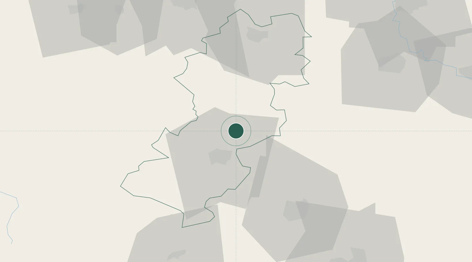
Hub Profile
Place type
District seat
Region
Central Serbia
Population
4
Time zone
Europe/Belgrade
Elevation
414 m
Location
Nearby Logistics Neighbours
Cities
- 1Zvecan47 km
- 2Kraljevo48 km
- 3Kursumlija57 km
- 4Bresnica65 km
- 5Krusevac70 km
Airports
- 1Morava Airport59 km
- 2Priština Adem Jashari International Airport87 km
- 3Ponikve Airport100 km
- 4Niš Constantine the Great Airport102 km
- 5Kukës International Airport140 km
Trade Zones
DatabookThe Record of Consolidated Knowledge
Serbia beyond logistics?