Transport Functions
Rail
Road
Airport
Postal
Hub Profile
Logistics facilities
8
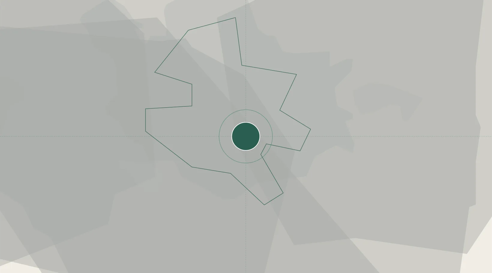
Location
Nearby Logistics Neighbours
Cities
- 1Popesti-Leordeni6 km
- 2Glina11 km
- 3Chiajna13 km
- 4Stefanestii de Jos14 km
- 5Dragomiresti-Deal14 km
Airports
Trade Zones
- 1VGP Park Buharest North14 km
- 2Rousse Free Zone60 km
- 3Free Zone Giurgiu60 km
- 4Free Zone Galați130 km
- 5VGP Park Brasov144 km
DatabookThe Record of Consolidated Knowledge
Romania beyond logistics?