Transport Functions
Rail
Road
Hub Profile
Place type
Provincial seat
Region
Viseu
Time zone
Europe/Lisbon
Elevation
277 m
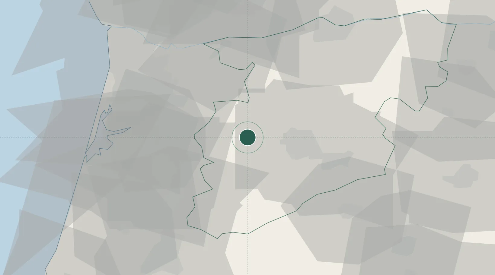
Location
Nearby Logistics Neighbours
Cities
- 1São Pedro do Sul6 km
- 2Oliveira de Frades6 km
- 3Agualva17 km
- 4Abraveses18 km
- 5Viseu18 km
Ports
- 1Aveiro46 km
- 2Oporto67 km
- 3Porto De Leixoes71 km
- 4Figueira Da Foz88 km
- 5Viana Do Castelo125 km
Airports
Trade Zones
DatabookThe Record of Consolidated Knowledge
Portugal beyond logistics?