Transport Functions
Rail
Road
Airport
Hub Profile
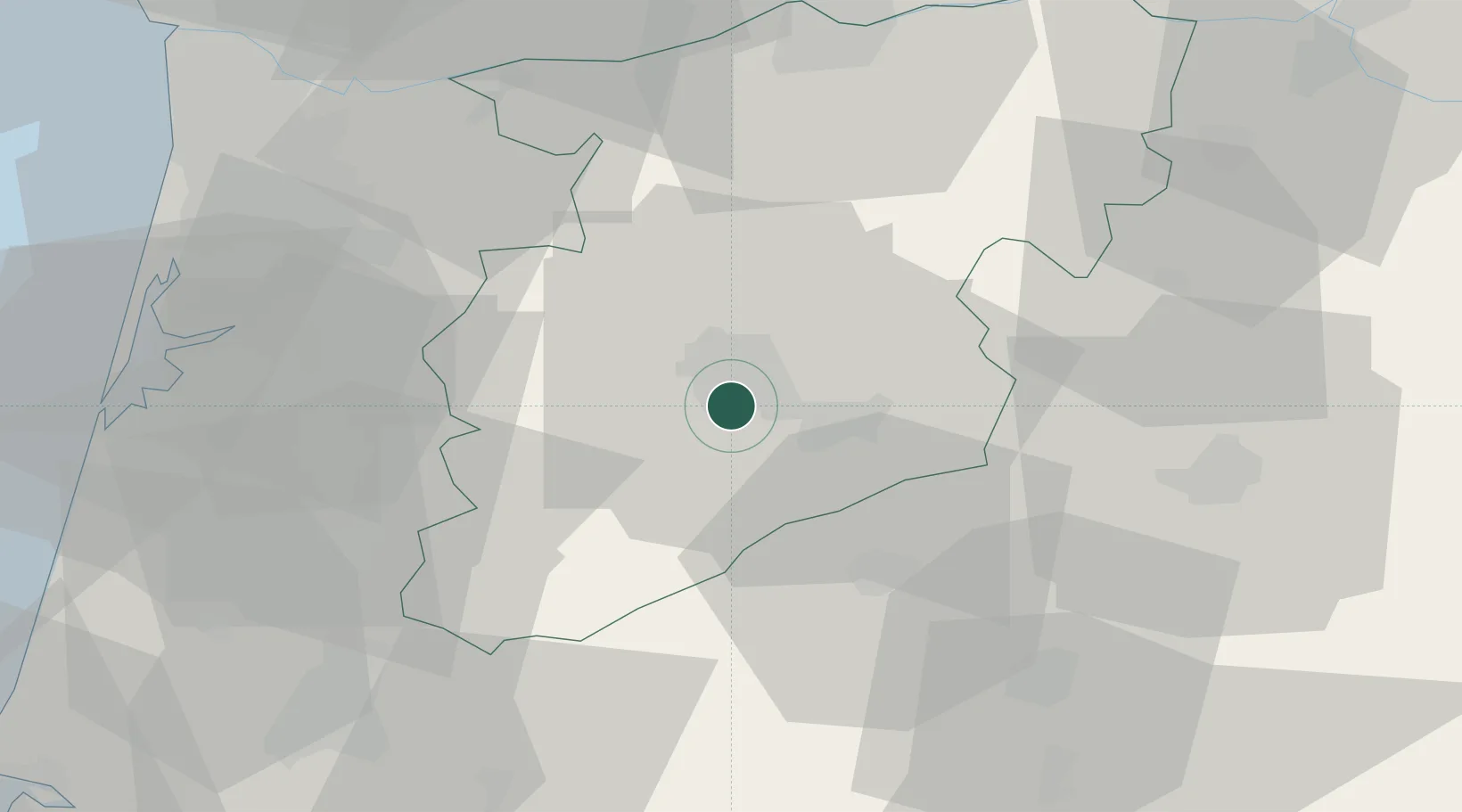
Place type
Regional capital
Region
Viseu
Population
103,502
Time zone
Europe/Lisbon
Elevation
469 m
Location
Nearby Logistics Neighbours
Cities
- 1Abraveses2 km
- 2Vilar Seco12 km
- 3Mangualde14 km
- 4Nelas14 km
- 5Canas de Senhorim17 km
Ports
- 1Aveiro62 km
- 2Oporto84 km
- 3Porto De Leixoes89 km
- 4Figueira Da Foz97 km
- 5Viana Do Castelo140 km
Airports
Trade Zones
DatabookThe Record of Consolidated Knowledge
Portugal beyond logistics?