Transport Functions
Multimodal
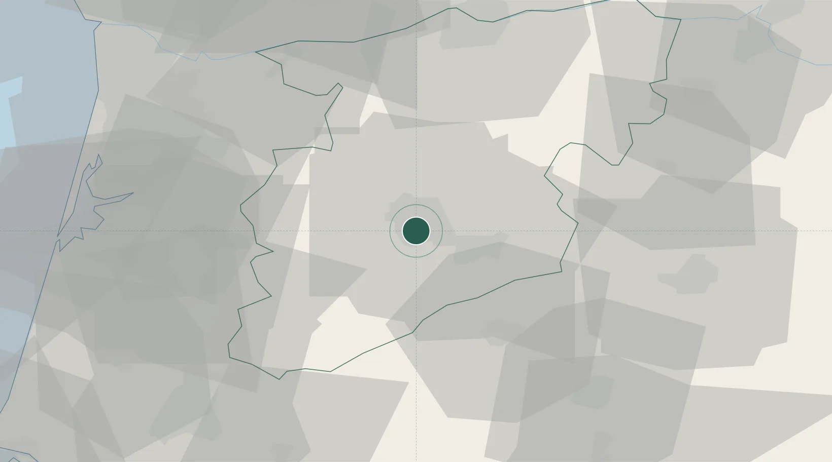
Hub Profile
Place type
Populated place
Region
Viseu
Population
9,319
Time zone
Europe/Lisbon
Elevation
512 m
Location
Nearby Logistics Neighbours
Cities
- 1Viseu2 km
- 2Vilar Seco14 km
- 3Mangualde15 km
- 4São Pedro do Sul16 km
- 5Nelas16 km
Ports
- 1Aveiro62 km
- 2Oporto83 km
- 3Porto De Leixoes87 km
- 4Figueira Da Foz98 km
- 5Viana Do Castelo138 km
Airports
Trade Zones
DatabookThe Record of Consolidated Knowledge
Portugal beyond logistics?