UN/LOCODE hub · Portugal
PTSPS
São Pedro do Sul
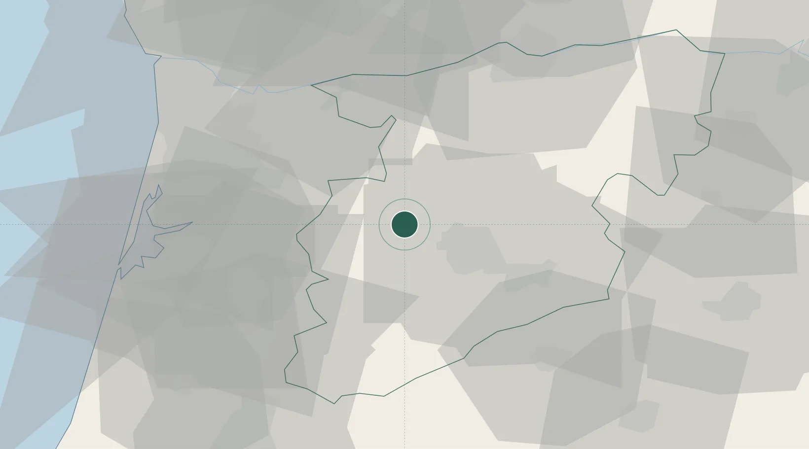
40.7500°, -8.0667°
5,497
Population
2
Transport functions
Transport Functions
Rail
Road
Hub Profile
Place type
Provincial seat
Region
Viseu
Population
5,497
Time zone
Europe/Lisbon
Elevation
210 m
Location
Nearby Logistics Neighbours
Cities
- 1Vouzela6 km
- 2Oliveira de Frades10 km
- 3Abraveses16 km
- 4Viseu17 km
- 5Agualva18 km
Ports
- 1Aveiro50 km
- 2Oporto67 km
- 3Porto De Leixoes72 km
- 4Figueira Da Foz94 km
- 5Viana Do Castelo124 km
Airports
Trade Zones
DatabookThe Record of Consolidated Knowledge
Portugal beyond logistics?