UN/LOCODE hub · Portugal
PTTMC
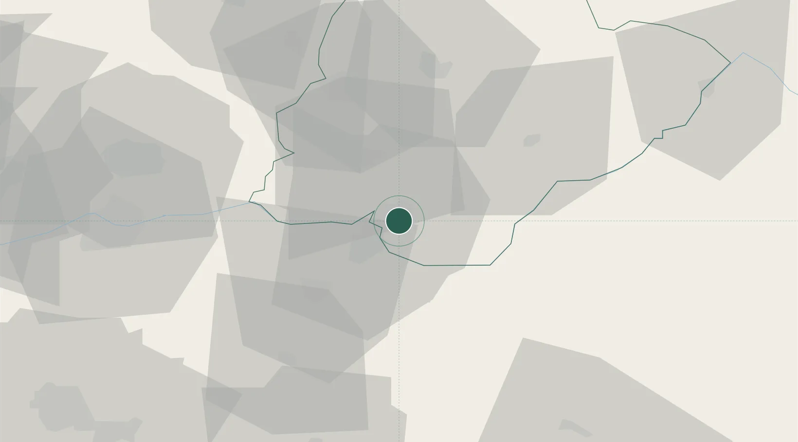
Torre de Moncorvo
41.1667°, -7.0500°
8,572
Population
2
Transport functions
Transport Functions
Rail
Road
Hub Profile
Place type
Provincial seat
Region
Bragança
Population
8,572
Time zone
Europe/Lisbon
Elevation
397 m
Location
Nearby Logistics Neighbours
Cities
- 1Vila Nova de Fozcoa16 km
- 2Almendra19 km
- 3La Fregeneda26 km
- 4Barruecopardo34 km
- 5Mirandela37 km
Ports
- 1Oporto135 km
- 2Porto De Leixoes138 km
- 3Aveiro146 km
- 4Viana Do Castelo160 km
- 5Vigo182 km
Airports
- 1Vila Real Airport57 km
- 2Bragança Airport82 km
- 3Aerodromo Goncalves Lobato (Viseu Airport)86 km
- 4Vilar de Luz Airfield123 km
- 5Braga Municipal Aerodrome125 km
Trade Zones
- 1VGP Park Santa Maria da Feira130 km
- 2Zona Livre Tecnológica Masotinhos137 km
- 3Zona Franca de Vigo184 km
- 4Depósito Franco de La Coruña268 km
- 5Depósito Franco de Gijón289 km
DatabookThe Record of Consolidated Knowledge
Portugal beyond logistics?