Transport Functions
Rail
Road
Hub Profile
Place type
Provincial seat
Region
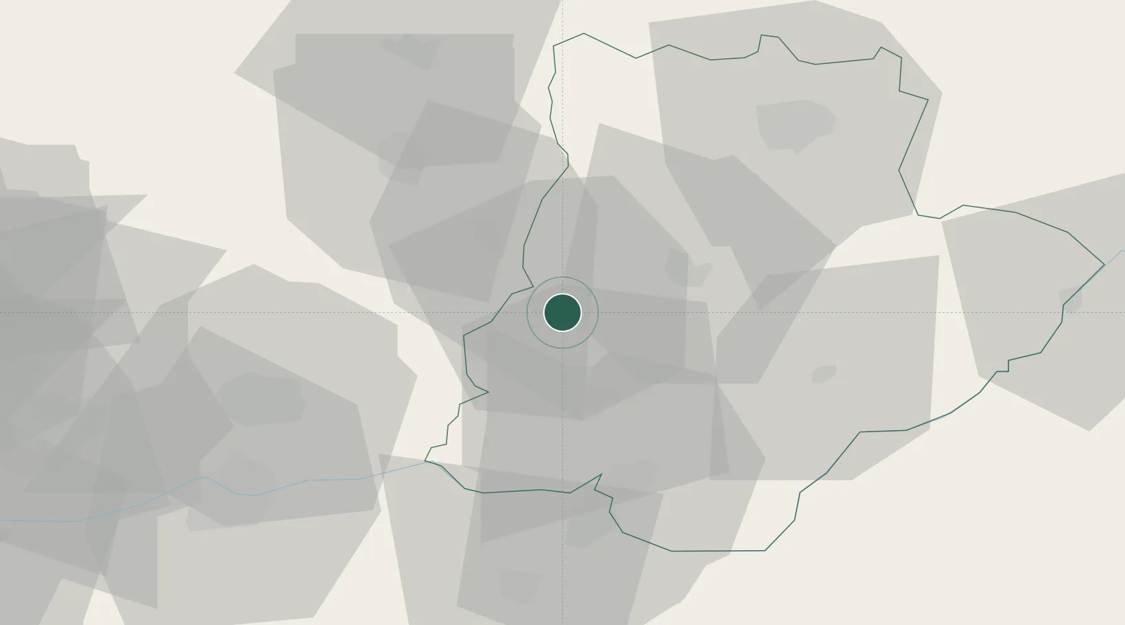
Bragança
Population
12,504
Time zone
Europe/Lisbon
Elevation
215 m
Location
Nearby Logistics Neighbours
Cities
- 1Carvalhais4 km
- 2Bouça19 km
- 3Macedo de Cavaleiros19 km
- 4Argeriz20 km
- 5Rio Bom27 km
Ports
- 1Oporto129 km
- 2Porto De Leixoes131 km
- 3Viana Do Castelo139 km
- 4Vigo152 km
- 5Aveiro154 km
Airports
- 1Vila Real Airport51 km
- 2Bragança Airport57 km
- 3Aerodromo Goncalves Lobato (Viseu Airport)103 km
- 4Braga Municipal Aerodrome106 km
- 5Vilar de Luz Airfield114 km
Trade Zones
- 1Zona Livre Tecnológica Masotinhos130 km
- 2VGP Park Santa Maria da Feira131 km
- 3Zona Franca de Vigo154 km
- 4Depósito Franco de La Coruña231 km
- 5Depósito Franco de Gijón262 km
DatabookThe Record of Consolidated Knowledge
Portugal beyond logistics?