Transport Functions
Multimodal
Hub Profile
Region
06
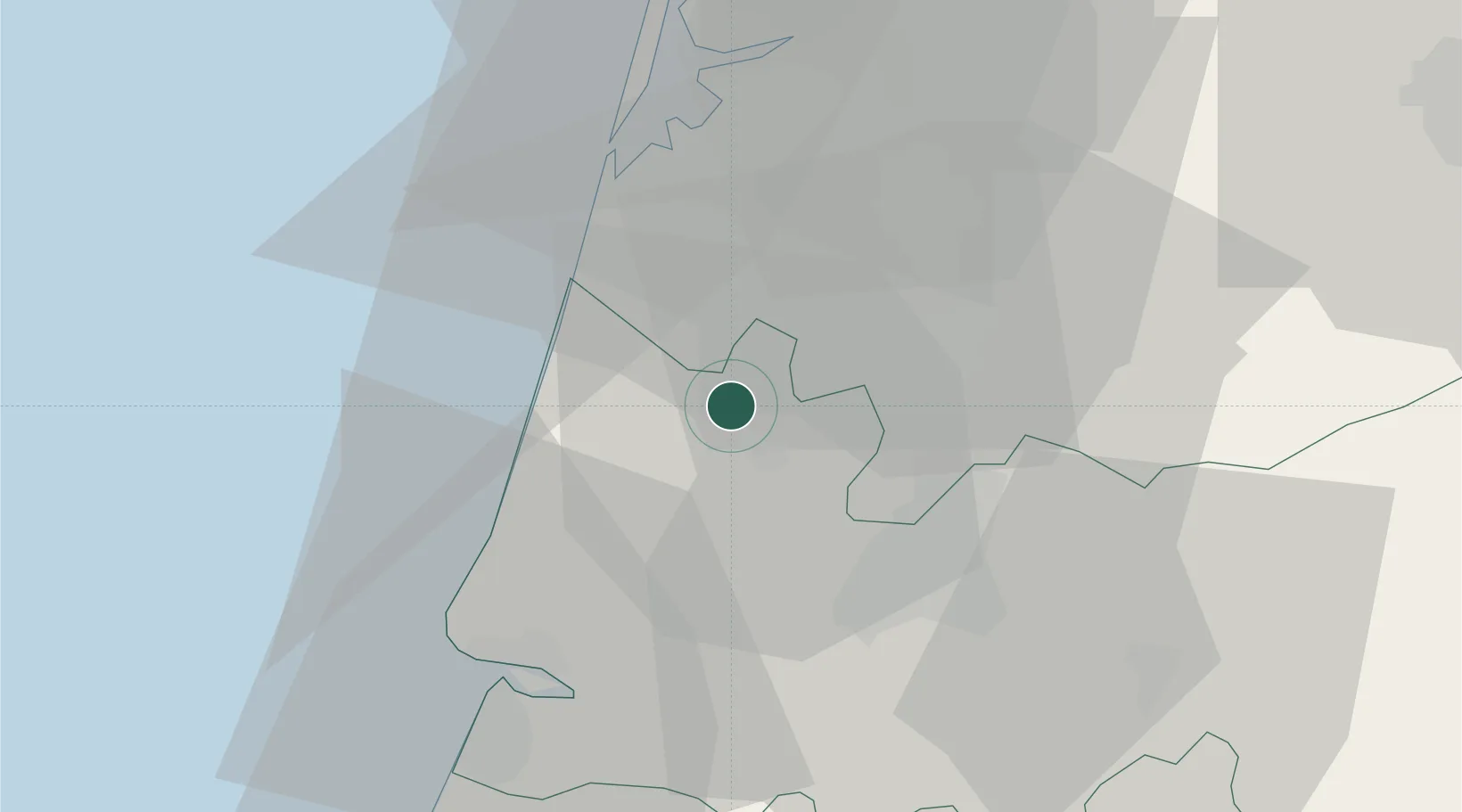
Location
Nearby Logistics Neighbours
Cities
- 1Cantanhede6 km
- 2Bustos12 km
- 3Amoreira da Gândara13 km
- 4Murtede13 km
- 5Nariz15 km
Ports
- 1Aveiro28 km
- 2Figueira Da Foz33 km
- 3Oporto83 km
- 4Porto De Leixoes87 km
- 5Viana Do Castelo146 km
Airports
Trade Zones
- 1VGP Park Santa Maria da Feira59 km
- 2Zona Livre Tecnológica Masotinhos86 km
- 3Zona Franca de Vigo204 km
- 4Depósito Franco de La Coruña330 km
- 5Puerto de Huelva378 km
DatabookThe Record of Consolidated Knowledge
Portugal beyond logistics?