Transport Functions
Multimodal
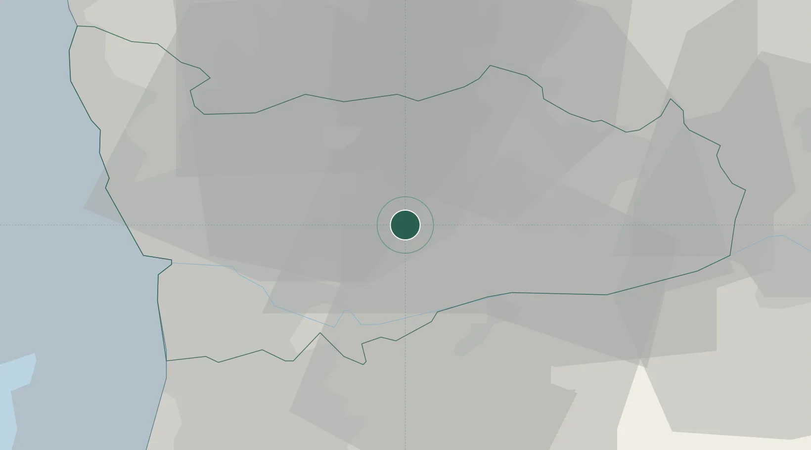
Hub Profile
Place type
Provincial seat
Region
Porto
Population
19,834
Time zone
Europe/Lisbon
Elevation
179 m
Location
Nearby Logistics Neighbours
Ports
- 1Oporto28 km
- 2Porto De Leixoes31 km
- 3Aveiro67 km
- 4Viana Do Castelo70 km
- 5Vigo119 km
Airports
- 1Vilar de Luz Airfield18 km
- 2Francisco de Sá Carneiro Airport30 km
- 3Ovar Air Base41 km
- 4Braga Municipal Aerodrome44 km
- 5Vila Real Airport52 km
Trade Zones
DatabookThe Record of Consolidated Knowledge
Portugal beyond logistics?